 Slovenski INSPIRE metapodatkovni sistem
Catalogue of public legal regimes
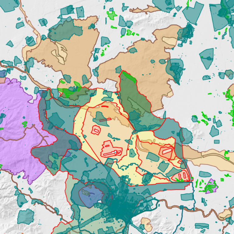
Catalogue of public legal regimes includes data about dataset of legal regimes, which are included in the services of the Spatial planning information system.
Original datasets about legal regimes are maintained by the responsible public institutions (local communities or governmental institutions).
|
|
Citation proposal
Ministrstvo za naravne vire in prostor Ministrstvo za naravne vire in prostor Ministry of Natural Resources and Spatial Planning (2016) . Catalogue of public legal regimes. https://eprostor.gov.si/imps/srv/api/records/03aebee0-6826-45ca-8c5f-ceed609ac6a7 |
INSPIRE
Identification
- File identifier
- 03aebee0-6826-45ca-8c5f-ceed609ac6a7 XML
- Hierarchy level
- Dataset
- OnLine resource
-
The public website of the spatial information system (PIS)
The central digital system of the state administration in the fields of spatial planning, construction, land policy, and monitoring of spatial development.
- Identifier
- SI.MNVP.SZPR / 5500d6ab-e2fc-4072-b116-14a4968061c7
- Metadata language
- Slovenian
- Projection
- http://www.opengis.net/def/crs/EPSG/0/3794
Classification of data and services
- Topic category
-
- Planning cadastre
Classification of data and services
Coupled resource
Coupled resource
Classification of data and services
Coupled resource
Coupled resource
Keywords
- GEMET - INSPIRE themes, version 1.0 GEMET - INSPIRE themes, version 1.0 ( Theme )
-
- Land use
- Protected sites
- Prostorski obseg
Other keywords
Geographic coverage
N
S
E
W
))
Temporal reference
Temporal extent
Temporal extent
- Date ( Creation )
- 2015-06-01T11:43:00
- Date ( Publication )
- 2016-09-16T11:16:00
Quality and validity
- Lineage
- The responsible public institutions ensure the completeness of each original dataset. The registration of dataset in the Catalogue of Public Legal Regimes is carried out by the Ministry for Spatial Planning. The registration must be proposed by the responsible public institution.
Spatial resolution
Spatial resolution (scale)
- Denominator
- 1000
Spatial resolution (distance)
Md. maintenance
- Maintenance and update frequency
- Continual
Coordinate Reference System
- code
- http://www.opengis.net/def/crs/EPSG/0/3794
Encoding
- Format
- Vector
- Version
- 1.0
- Specification
- Spatial representation type
- Vector
Conformity
Conformance result
- Date ( Publication )
- 2010-12-08
- Explanation
- See the referenced specification
Conformity
Conformance result
- Date ( Publication )
- 2010-12-08
- Explanation
- See the referenced specification
constraintsRelatedToAccessAndUse
Use limitation
useConstraint
Access constraints
Access constraints
constraintsRelatedToAccessAndUse
Use limitation
- Use limitation
- Za dostop in uporabo ne veljajo nobeni pogoji
Access constraints
Access constraints
Responsible organization (s)
Responsible organization (s)
Metadata information
Point of contact
- Date stamp
- 2026-08-13T15:28:06
SDS
Conformance class 1: invocable
Access Point URL
Endpoint URL
Technical specification
Conformance class 2: interoperable
Coordinate reference system
Quality of Service
Access constraints
Limitation
Use constraints
Limitation
Responsible custodian
Contact for the resource
Conformance class 3: harmonized
Overviews
large_thumbnail
Provided by

Views
03aebee0-6826-45ca-8c5f-ceed609ac6a7
Access to the portal
Read here the full details and access to the data.
Associated resources
Not available