 Slovenski INSPIRE metapodatkovni sistem
Type of resources
Categories
INSPIRE themes
Keywords
Contact for the resource
Formats
Representation types
Scale
Resolution
-
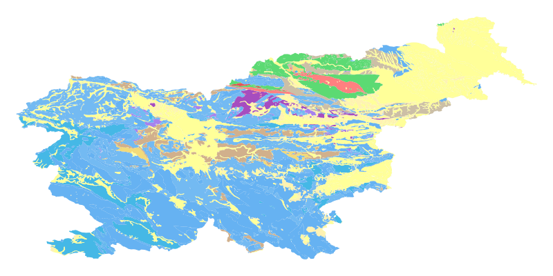
The harmonized geological map of Slovenia at a scale of 1:1,000,000 is a simplified version of the 1:250,000 scale Geological Map of Slovenia (Buser, 2009). The latter was compiled from the Basic Geological Map of Slovenia at a scale of 1: 100,000 (contributed by various authors between 1960's and 1980's and updated with new information gathered by S. Buser). The map is basically lithostratigraphic. The two layers incorporated in the map are lithostratigraphic units and major faults. The faults depicted on the map were selected using two criteria; regional extent and tectonic importance. The map presented here was edited specifically for the purpose of the OneGeology-Europe project by M. Bavec, M. Novak, M. Poljak, M. Trajanova and D. Skaberne.
-

-
-
-
-
-

-

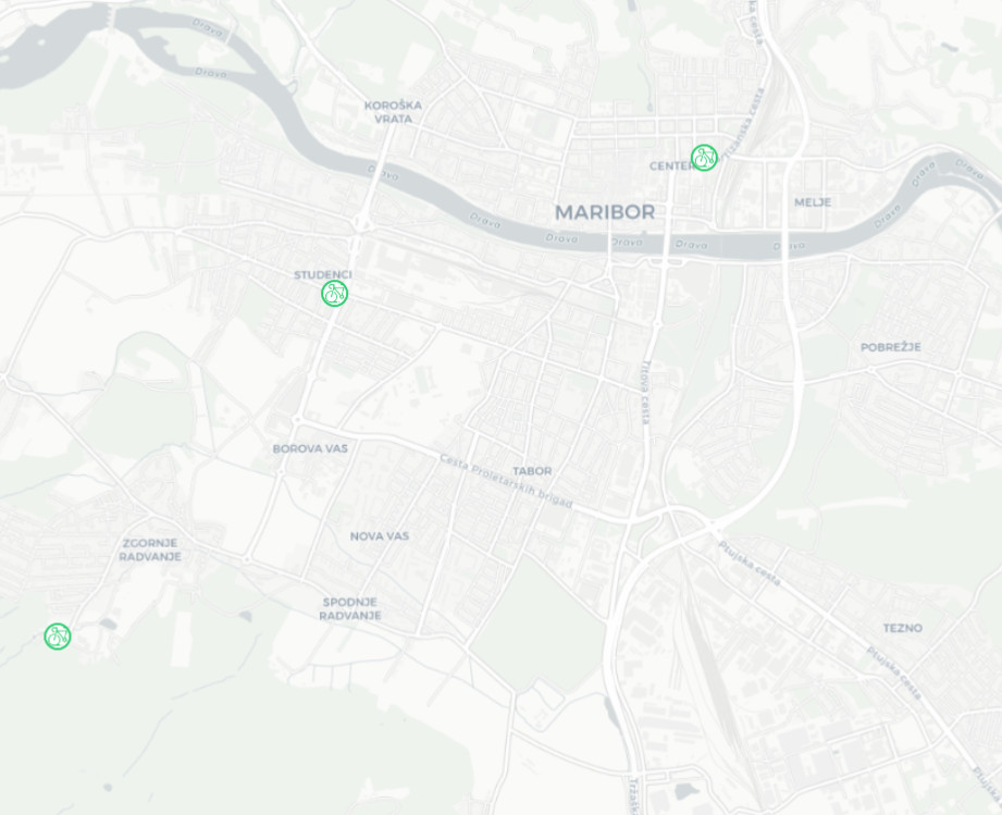
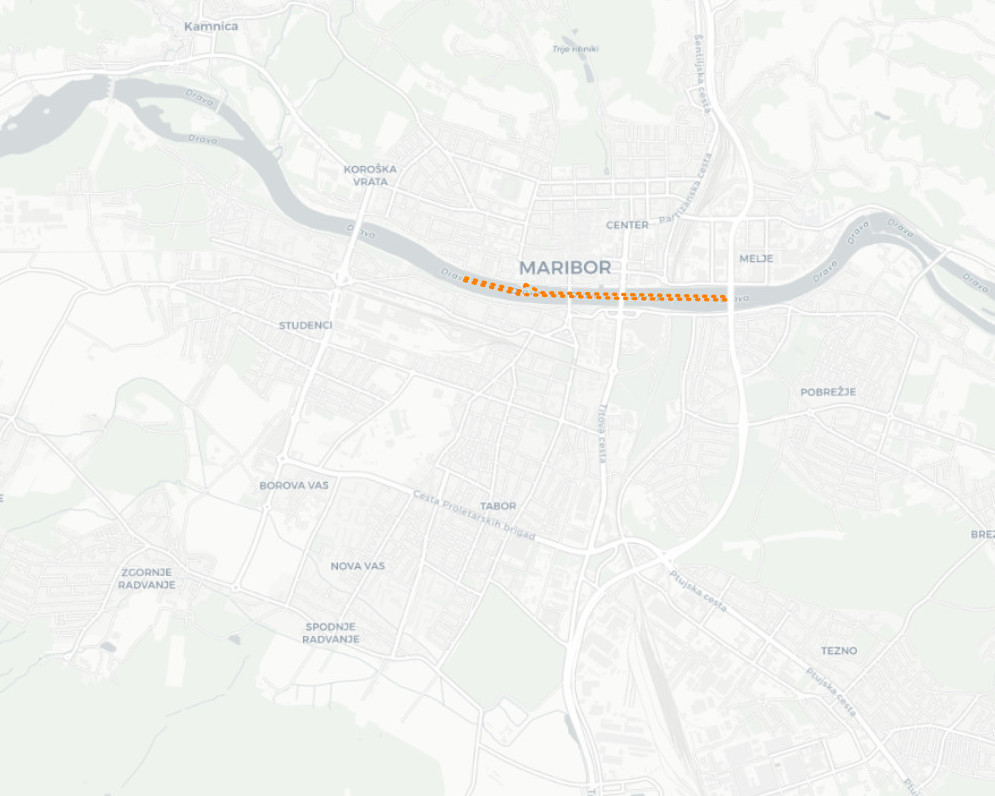
A sidewalk is a part of the road that is not in the same plane as the carriageway or is in the same plane and is separated from it in some other way. It is intended for pedestrians and bicycles and bicycles with an auxiliary motor, if it has a lane for cyclists. The layer keeps track of sidewalks, namely the axes of the sandstone surfaces.
-
-
