 Slovenski INSPIRE metapodatkovni sistem
Remote Sensing Database
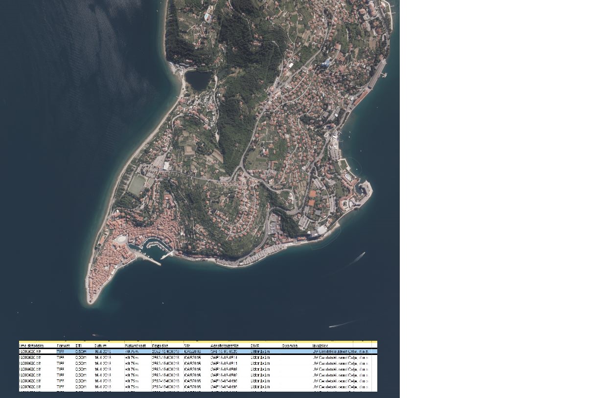
In the Remote Sensing Database the remote sensing data, ortophoto and remote sensing technical data are being managed.
|
|
Citation proposal
Geodetska uprava Republike Slovenije Geodetska uprava Republike Slovenije Surveying and Mapping Authority of the Republic of Slovenia . Remote Sensing Database. https://eprostor.gov.si/imps/srv/api/records/160690c5-b1e0-42d7-b644-f49d0914b991 |
INSPIRE
Identification
- File identifier
- 160690c5-b1e0-42d7-b644-f49d0914b991 XML
- Hierarchy level
- Dataset
- OnLine resource
-
Portal Spatial
Central portal for access to reference spatial data, applications and services of the Surveying and Mapping Authority of the Republic of Slovenia.
- OnLine resource
-
Public Access (JV)
Public Access (JV) is an application that allows the user to view descriptive and graphical data from the Surveying and Mapping Authority and certain other managers.
- Identifier
- SI.GURS.ZPDZ / 738c1d65-81af-4030-806b-b80a716f997c
- Metadata language
- Slovenian
- Reference system identifier
- http://www.opengis.net/def/crs/EPSG/0/3912
- Reference system identifier
- http://www.opengis.net/def/crs/EPSG/0/3794 / http://www.opengis.net/def/crs/EPSG/0/3794 /
Classification of data and services
- Topic category
-
- Imagery base maps earth cover
Classification of data and services
Coupled resource
Coupled resource
Classification of data and services
Coupled resource
Coupled resource
Keywords
- GEMET - INSPIRE themes, version 1.0 GEMET - INSPIRE themes, version 1.0 ( Theme )
-
- Orthoimagery
- Spatial scope
Other keywords
- Keywords
-
- orthophoto, Imagery/base maps/land cover
Geographic coverage
N
S
E
W
))
Temporal reference
Temporal extent
Temporal extent
- Date ( Creation )
- 2014-08-02
Quality and validity
- Lineage
- In the Remote Sensing Databse the remote sensing data, ortophoto and remote sensing technical data are being managed. The Remote Sensing Database consists of database of aerial photograps and other types of remote sensing database. The remote sensing technical data database consists of aerial photographs technical data, technical data about other remote sensing data and technical data about orthophotos.
Spatial resolution
Spatial resolution (scale)
Spatial resolution (distance)
- Distance
- 0.25 m
- Distance
- 0.5 m
Md. maintenance
- Maintenance and update frequency
- Annually
- Maintenance note
- In accordance with the CAS surveying and orthophoto.
Coordinate Reference System
Encoding
- Format
- Text
- Version
- Specification
- Format
- TIFF
- Version
- Specification
- Character set
- 8859 Part 2
- Spatial representation type
- Text, table
Conformity
Conformance result
- Date ( Publication )
- 2010-12-08
- Projection
- Codespace
- EU
- Explanation
- See the referenced specification
- Pass
- true
Conformance result
- Date ( Publication )
- 2014-04-11
- Identifier
- SOP / 2014-01-0962
- Explanation
- Glej referenčno specifikacijo
- Pass
- true
Conformity
Conformance result
- Date ( Publication )
- 2010-12-08
- Projection
- Codespace
- EU
- Explanation
- See the referenced specification
- Pass
- true
Conformance result
- Date ( Publication )
- 2014-04-11
- Identifier
- SOP / 2014-01-0962
- Explanation
- Glej referenčno specifikacijo
- Pass
- true
constraintsRelatedToAccessAndUse
Use limitation
useConstraint
Access constraints
Access constraints
constraintsRelatedToAccessAndUse
Use limitation
- Use limitation
- Splošni pogoji uporabe geodetskih podatkov: https://www.e-prostor.gov.si/dostopi/javni-dostop/?acitem=1821-1822
Access constraints
Access constraints
Responsible organization (s)
Responsible organization (s)
Metadata information
Point of contact
- Date stamp
- 2026-08-17T15:19:04
SDS
Conformance class 1: invocable
Access Point URL
Endpoint URL
Technical specification
Conformance class 2: interoperable
Coordinate reference system
Quality of Service
Access constraints
Limitation
Use constraints
Limitation
Responsible custodian
Contact for the resource
Conformance class 3: harmonized
Overviews
large_thumbnail
Provided by

Views
160690c5-b1e0-42d7-b644-f49d0914b991
Access to the portal
Read here the full details and access to the data.
Associated resources
Not available