 Slovenski INSPIRE metapodatkovni sistem
EuroGlobalMap
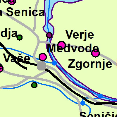
The EuroGlobalMap for Slovenia is a part of the European collection of topographic data at 1: 1 000 000 scale.
|
|
Citation proposal
Geodetska uprava Republike Slovenije Geodetska uprava Republike Slovenije Surveying and Mapping Authority of the Republic of Slovenia . EuroGlobalMap. https://eprostor.gov.si/imps/srv/api/records/254c1504-5508-4f54-af57-46aafeca9fdc |
- Identification
- Distribution
- Quality
- Spatial rep.
- Ref. system
- Content
- Portrayal
- Metadata
- Md. constraints
- Md. maintenance
- Schema info
Identification
Data identification
Citation
- Date ( Creation )
- 2003-12-31
- Identifier
- SI.GURS.EGM / 18221e6e-183f-43b1-a631-4507c61e5e55
- GEMET - INSPIRE themes, version 1.0 GEMET - INSPIRE themes, version 1.0 ( Theme )
-
- Geographical names
- Population distribution - demography
- Hydrography
- Transport networks
- Prostorski obseg ( Theme )
Legal constraints
- Access constraints
- Other restrictions
- Use limitation
- No limitations
Legal constraints
- Use constraints
- Other restrictions
- Spatial representation type
- Vector
- Denominator
- 1000000
- Metadata language
- Slovenian
- Topic category
-
- Imagery base maps earth cover
N
S
E
W
))
Distribution
Distribution
- Distribution format
-
- ESRI Shapefile (1.0 )
- OnLine resource
- Spatial Portal
Quality
Data quality
- Hierarchy level
- Dataset
Conformance result
Citation
- Date ( Publication )
- 2010-12-08
- Explanation
- See the referenced specification
- Statement
- Surveying and Mapping Authority has been collecting and renewing data for the area of the Republic of Slovenia from 2001 to 2010. The main source for that was the General Map at 1: 1 000 000 scale. The collection is now being maintained with EuroRegionalMap data at the European level.
Ref. system
- Reference system identifier
- http://www.opengis.net/def/crs/EPSG/0/3035
Metadata
Metadata
- File identifier
- 254c1504-5508-4f54-af57-46aafeca9fdc XML
- Metadata language
- Slovenian
- Hierarchy level
- Dataset
- Date stamp
- 2026-08-14T10:29:32
- Metadata standard name
- ISO 19115:2003/19139
- Metadata standard version
- 1.0
Overviews
thumbnail
large_thumbnail
Provided by

Views
254c1504-5508-4f54-af57-46aafeca9fdc
Access to the portal
Read here the full details and access to the data.
Associated resources
Not available