 Slovenski INSPIRE metapodatkovni sistem
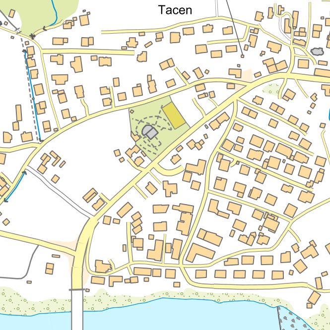
Topographic Dataset (DTM)
The collection of topographic data is maintained in the form of the National Topographic Model (DTM), which contains graphical and attribute-based topographic data on features that correspond to the accuracy of the 1:5,000 scale.
The DTM includes topographic data for the territory of Slovenia in compliance with INSPIRE guidelines. The DTM also comprises geographical names and a digital terrain model.
DTM data can be used for geolocating other spatial data, as a base for the display of graphical components of municipal spatial planning documents, and for the purposes of digital cartography. The data can also be linked to datasets from various administrative sectors.
|
|
Citation proposal
Geodetska uprava Republike Slovenije Geodetska uprava Republike Slovenije (2015) . Topographic Dataset (DTM). https://eprostor.gov.si/imps/srv/api/records/972e291a-6cbb-4572-b4df-d18860c5e6ff |
- Identification
- Distribution
- Quality
- Spatial rep.
- Ref. system
- Content
- Portrayal
- Metadata
- Md. constraints
- Md. maintenance
- Schema info
Identification
Data identification
Citation
- Date ( Creation )
- 2002-12-31
- Date ( Publication )
- 2015-06-01
- Date ( Revision )
- 2024-12-13
- Identifier
- SI.GURS.DTM / f5ac6f15-b38c-43d8-bd75-d5e624bc5890
- Keywords
-
- Komunalne in javne storitve, prometna omrežja, hidrografija, digitalni model višin, zemljepisna imena, pokrovnost tal, stavbe
- GEMET - INSPIRE themes, version 1.0 GEMET - INSPIRE themes, version 1.0 ( Theme )
-
- Zemljepisna imena
- Komunalne in javne storitve
- Prometna omrežja
- Hidrografija
- Pokrovnost tal
- Stavbe
- Digitalni model višin
- Spatial scope Spatial scope ( Theme )
-
- National
- Keywords ( Stratum )
-
- Relief
Legal constraints
- Access constraints
- Other restrictions
- Use limitation
- No limitations
Legal constraints
- Use constraints
- Other restrictions
- Use limitation
- Splošni pogoji uporabe geodetskih podatkov: https://www.e-prostor.gov.si/dostopi/javni-dostop/?acitem=1821-1822
- Spatial representation type
- Vector
- Denominator
- 5000
- Metadata language
- Slovenian
- Topic category
-
- Location
- Planning cadastre
))
Distribution
Distribution
- Distribution format
-
-
ESRI Shapefile
(1.0 )
- Specification
-
ESRI Shapefile
(1.0 )
Digital transfer options
- OnLine resource
- Portal Prostor
- OnLine resource
- Aplikacija JGP za prenos brezplačnih podatkov
- OnLine resource
- Aplikacija Javni vpogled
- OnLine resource
- INSPIRE - Zbirka topografskih podatkov (DTM) Plastnice - ATOM
- OnLine resource
-
SI.GURS.DTM:EL.ContourLine
Contour Line
- OnLine resource
-
SI.GURS.DTM:EL.SpotElevation
Spot Elevation
- OnLine resource
-
tn-c:TN.CableTransportNetwork.CablewayLink
Cableway Link Default Style
- OnLine resource
- INSPIRE - Zbirka topografskih podatkov (DTM) Žičnice - ATOM
Quality
Data quality
- Hierarchy level
- Dataset
Conformance result
Citation
- Date ( Publication )
- 2010-12-08
Identifier
- Projection
- Codespace
- EU
- Explanation
- Glej referenčno specifikacijo
- Pass
- true
Conformance result
Citation
- Date ( Publication )
- 2014-04-11
- Identifier
- SOP / 2014-01-0962
- Explanation
- Glej referenčno specifikacijo
- Pass
- true
- Statement
-
Osnovni vir za zajem topografskih podatkov v DTM so najnovejši podatki cikličnega aerofotografiranja Slovenije in laserskega skeniranja Slovenije. Dopolnilni viri so podatki iz drugih evidenc (kataster stavb, zbirni kataster gospodarske javne infrastrukture, banka cestnih podatkov, podatki hidrografije in vodnih zemljišč Direkcije RS za vode) ter terenski zajem.
Topografski podatki merila 1 : 5 000 se zajemajo od leta 2002. Leta 2021 so bili zajeti topografski podatki za celotno državo, od leta 2022 pa se postopoma vzdržujejo.
Podatki so zajeti za celotno ozemlje Slovenije.
Ocena pozicijske natančnosti topografskih podatkov je +/- 1 m.
Ref. system
- Reference system identifier
- http://www.opengis.net/def/crs/EPSG/0/3794 / http://www.opengis.net/def/crs/EPSG/0/3794 /
- Reference system identifier
- http://www.opengis.net/def/crs/EPSG/0/3912 / http://www.opengis.net/def/crs/EPSG/0/3912 /
Metadata
Metadata
- File identifier
- 972e291a-6cbb-4572-b4df-d18860c5e6ff XML
- Metadata language
- Slovenian
- Hierarchy level
- Dataset
- Date stamp
- 2026-05-28T08:42:07
- Metadata standard name
- ISO 19115:2003/19139
- Metadata standard version
- 1.0
Point of contact
Overviews
Provided by
