 Slovenski INSPIRE metapodatkovni sistem
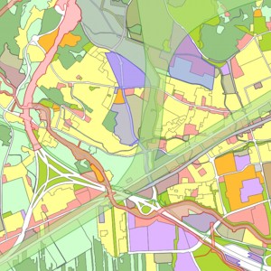
Database of Spatial Plans
Information about legal status defined by spatial plans is kept in the Database of Spatial Plans. Documentation and information form the preparation of spatial plans is also kept in the database. The Database of Spatial Plans includes data about geographical areas of spatial plans and data about planned land use from local spatial plans.
|
|
Citation proposal
Ministrstvo za naravne vire in prostor Ministrstvo za naravne vire in prostor Ministry of Natural Resources and Spatial Planning (2016) . Database of Spatial Plans. https://eprostor.gov.si/imps/srv/api/records/e86aa14c-934c-4e47-96c5-897225e1d1f6 |
Simple
- Date ( Publication )
- 2016-09-16
- Date ( Creation )
- 2015-06-01
- Identifier
- SI.MNVP.PA / cf26ea6a-492b-4993-82ba-3c41abbb2ac3
- Maintenance and update frequency
- Continual
- Maintenance note
- GEMET - INSPIRE themes, version 1.0 GEMET - INSPIRE themes, version 1.0 ( Theme )
-
- Land use
- Keywords
-
- Spatial planning acts
- Areas of spatial planning acts
- Planned land use
- Keywords
-
- Access constraints
- Other restrictions
- Use constraints
- Other restrictions
- Spatial representation type
- Vector
- Distance
- 1000 m
- Metadata language
- Slovenian
- Character set
- UTF8
- Topic category
-
- Planning cadastre
N
S
E
W
))
- Reference system identifier
- EPSG / Slovenia 1996 / Slovene National Grid (EPSG:3794) / 8.6
- Distribution format
-
-
ESRI Shapefile
(1.0 )
- Specification
-
TIFF
( )
- Specification
-
PDF
( )
- Specification
-
GeoPackage
( )
- Specification
-
ESRI Shapefile
(1.0 )
- OnLine resource
- Spatial Planning Information System public website
- Hierarchy level
- Dataset
Conformance result
- Date ( Publication )
- 2021-12-22
- Identifier
- SOP / 2021-01-3971
- Explanation
- Glej referenčni predpis.
- Pass
- true
gmd:MD_Metadata
- File identifier
- e86aa14c-934c-4e47-96c5-897225e1d1f6 XML
- Metadata language
- Slovenian
- Character set
- MD_CharacterSetCode_utf8
- Hierarchy level
- Dataset
- Date stamp
- 2025-12-09T21:05:17
- Metadata standard name
- ISO 19115:2003/19139
- Metadata standard version
- 1.0
Overviews
large_thumbnail
Provided by

Views
e86aa14c-934c-4e47-96c5-897225e1d1f6
Access to the portal
Read here the full details and access to the data.
Associated resources
Not available