 TEST - Slovenski INSPIRE metapodatkovni sistem
Keyword
Local
14 record(s)
Type of resources
Categories
INSPIRE themes
Keywords
Contact for the resource
Representation types
Scale
From
1
-
10
/
14
-

-

-
-

-

Layer Boreholes shows the localities where structural boreholes were drilled.
-

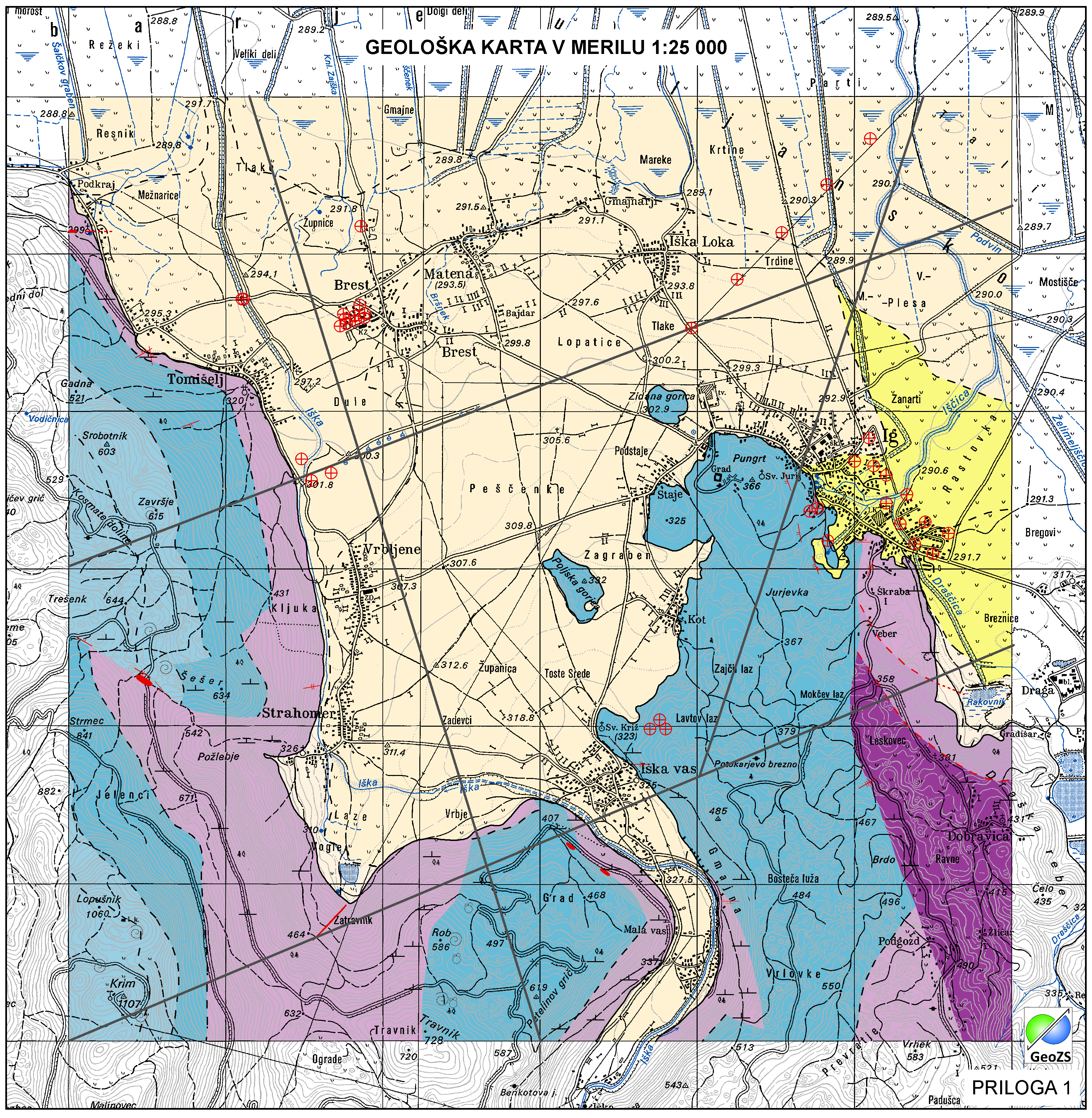
Geological Units are polygons, defined by equal composition (lithology) and age.
-

Layer Geomorphologic Features shows the location of various types of geomorphological phenomena. Only point data are included.
-

-

-
Layer shows discontinuities in the geological structure, and characterizes them according to their type and observation method.