 TEST - Slovenski INSPIRE metapodatkovni sistem
Keyword
geology
31 record(s)
Type of resources
Categories
INSPIRE themes
Keywords
Contact for the resource
Formats
Representation types
Scale
Resolution
-
-

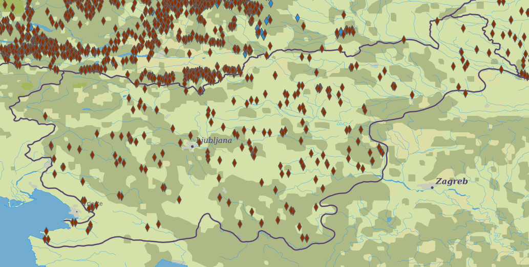
Layer Boreholes shows the localities where structural boreholes were drilled.
-

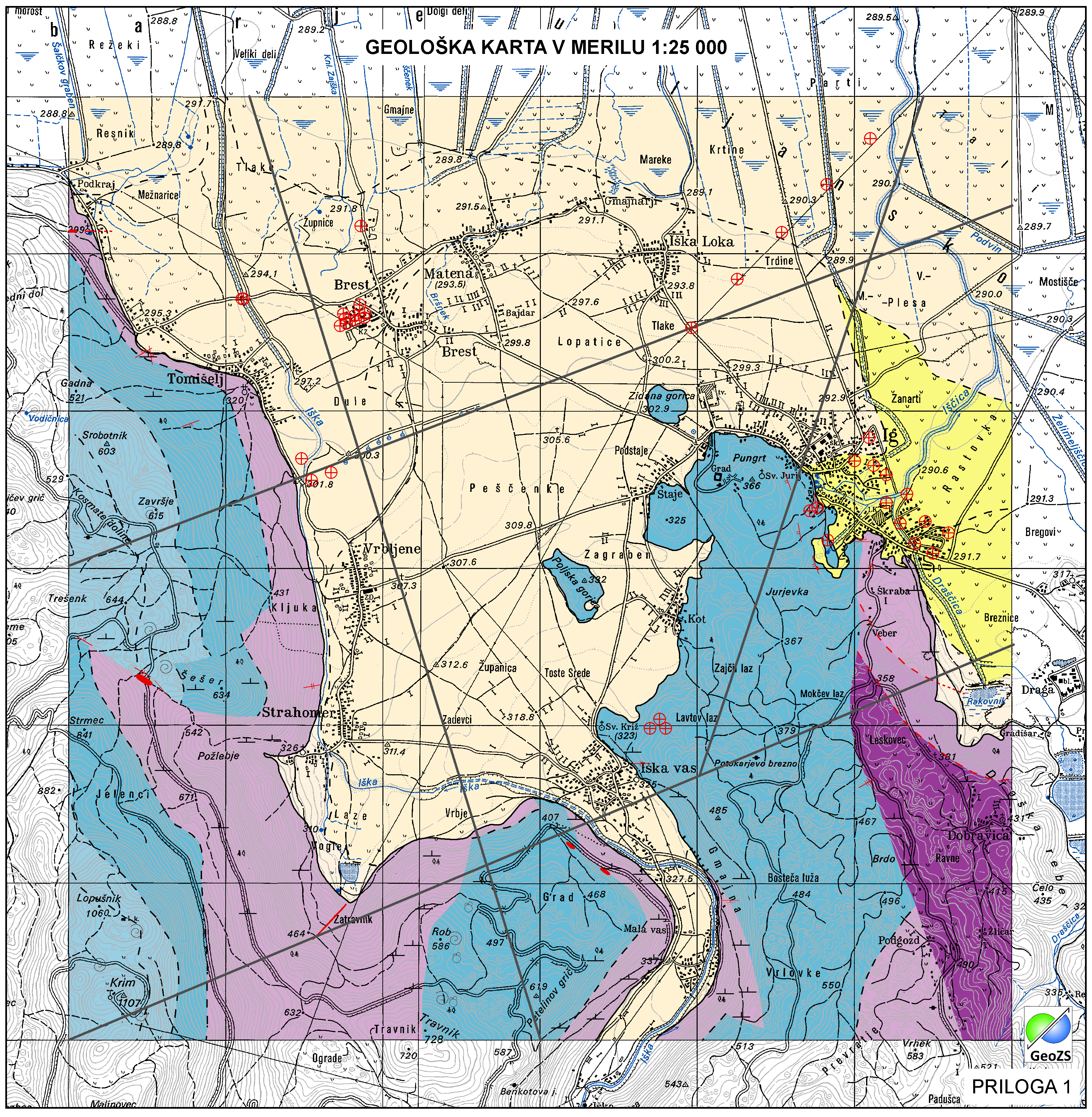
Geological Units are polygons, defined by equal composition (lithology) and age.
-

Layer Geomorphologic Features shows the location of various types of geomorphological phenomena. Only point data are included.
-
Layer shows discontinuities in the geological structure, and characterizes them according to their type and observation method.
-

Layer shows the zones where the rock is systematically fractured.
-

Geophysical cross sections show the geophysical characteristics of the sediments and bedrock at depth.
-
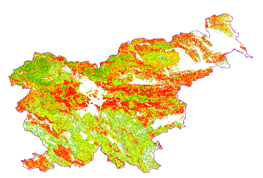
The underground geothermal conditions can be presented, irrespective of the aquifers' position, with the appropriate geothermal maps. These maps represent the expected isoterms at a depths and are derived from Geothermal maps - Expected temperatures , which are made with data from 302 boreholes. It is made on the basis of measured temperatures in accessible boreholes throughout the country. However, since the temperature field depends on the geological structure in the depths and tectonic characteristics, the course of the isotherms is a result of many influences, such as thermal conductivity of rocks, permeability and fracturing of rocks, all of which are reflected in the measured temperatures in boreholes. The distribution of boreholes, which were useful for the measurement of temperature, is very uneven and different as regard the depths.
-
Basic geological map of Yugoslavia presents lithological and stratigraphic characteristics of rocks, their relationships, age and other. It is a key to the understanding of the geology of Slovenia. It consists of 23 sheets, scale 1: 100.000.
-
Mineral deposits and resources INSPIRE compliant WFS services for Minerals4EU