TEST - Slovenski INSPIRE metapodatkovni sistem
Type of resources
Categories
INSPIRE themes
Keywords
Contact for the resource
Formats
Representation types
Scale
Resolution
-
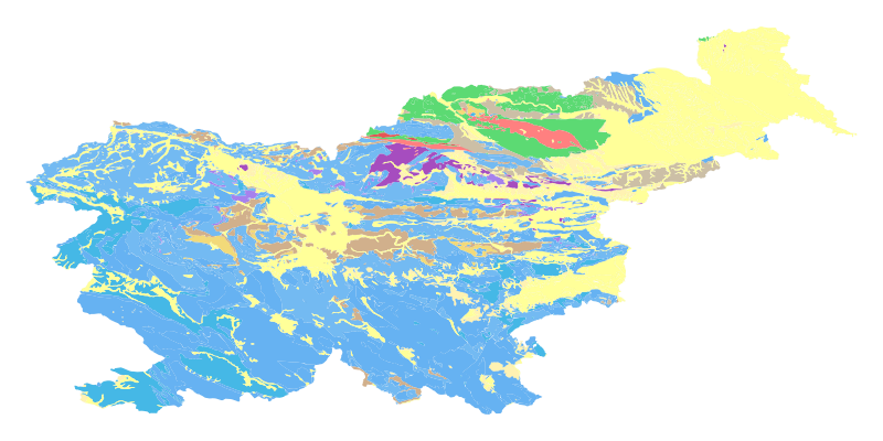
The harmonized geological map of Slovenia at a scale of 1:1,000,000 is a simplified version of the 1:250,000 scale Geological Map of Slovenia (Buser, 2009). The latter was compiled from the Basic Geological Map of Slovenia at a scale of 1: 100,000 (contributed by various authors between 1960's and 1980's and updated with new information gathered by S. Buser). The map is basically lithostratigraphic. The two layers incorporated in the map are lithostratigraphic units and major faults. The faults depicted on the map were selected using two criteria; regional extent and tectonic importance. The map presented here was edited specifically for the purpose of the OneGeology-Europe project by M. Bavec, M. Novak, M. Poljak, M. Trajanova and D. Skaberne.
-

For the needs of spatial planning and for implementing the policy of Land Registry, the Spatial Management Act (hereinafter: ZUreP-2) introduces a new record, called the Register of building land. It contains information on built-up land and non-built-up building land. - Built-up land is divided into associated building land, the associated land of construction engineering facilities and construction lots. The difference between the associated building land and the associated land of construction engineering facilities is that the associated building land will be determined in a process of mass capture, while the building lots are determined in the administrative procedure. The associated building land is therefore the first approximation of the building lot. - Non-built-up building land is classified into development stages which are determined by ZUreP-2 according to their equipment with public infrastructure, the status of the legal regime on land and the regulation of land with spatial planning documents. The Register of building land is in accordance with the ZUreP-2 intended for the planning of usage land or new building land in the process of preparation of municipal spatial planning documents, planning of utility equipment, implementation of Land Registry policy, rehabilitation and ensuring adequate parcel and ownership structure, ensuring affordable land for residence and work, management of land in the public interest and for the assessment of duties on building land and evaluation of building land. Register of building land is also the basis for providing information on developmental stages and other properties of building land for interested investors. The Register of building land will enable the implementation of Land Registry policy, increase the awareness of investors, and thus significantly contribute to a more successful development.
-

Information about legal status defined by spatial plans is kept in the Database of Spatial Plans. Documentation and information form the preparation of spatial plans is also kept in the database. The Database of Spatial Plans includes data about geographical areas of spatial plans and data about planned land use from local spatial plans.
-
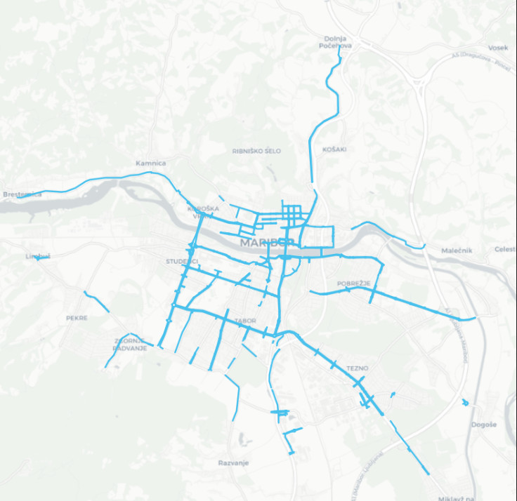
The layer keeps track on areas intended for cycling. Altogether, 16 different types of cycle paths were categorized. Bikeways are either marked on sidewalks, on the road or as independent cycle paths.
-

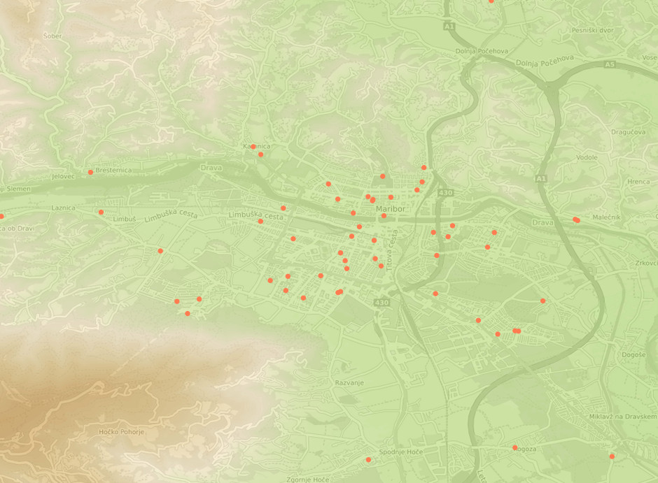
Register of legal acts is a unique database of all legal acts related with the construction: - building permits - operating permit - legal acts issued in the inspection procedure
-

National Coordinate System Database contains data on national geodetic points, national network of permanent stations for positioning with the technology of global navigation satellite systems (hereinafter referred as: national network for global positioning) and the geographic coordinate network.
-
This download service provides INSPIRE compliant data.
-

-
-