 Slovenski INSPIRE metapodatkovni sistem
Keyword
Digitalni model višin
5 record(s)
Type of resources
Categories
INSPIRE themes
Keywords
Formats
Representation types
Scale
Resolution
-
This download service provides INSPIRE compliant data.
-
This download service provides INSPIRE compliant data.
-

Digital Elevation Model is a description of the relief in the form of a model, where the height of the relief is given for each node of the square grid. The model represents a Digital Relief Model of Slovenia and Digital Elevation Model with grid size 5 x 5 m (DMV 5). Digital Relief Model of Slovenia was established using various geodetic data, using the method of weighted aggregation from resources with some geomorphological corrections. It was made in 2001-2005 and is available as a model in a square grid with a cell size 12.5 m, 25 m and 100 m (DMV 12.5, DMV 25 and DMV 100). DMV 5 was created in 2006 and was regularly maintained until 2014 using cyclic aerial survey of Slovenia (CAS). Some additional data sources were used to produce the model as well. The data of both models are available as ASCII files (y, x, H), for example: 401000.0 112000.0 251.71 401025.0 112000.0 241.03 401050.0 112000.0 230.51 401075.0 112000.0 219.88 401100.0 112000.0 208.31 401125.0 112000.0 195.45
-
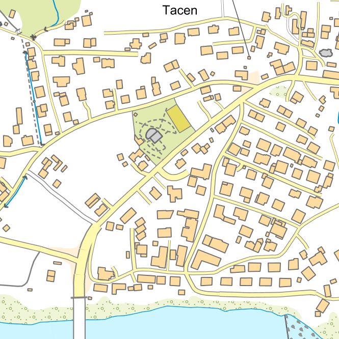
The collection of topographic data is maintained in the form of the National Topographic Model (DTM), which contains graphical and attribute-based topographic data on features that correspond to the accuracy of the 1:5,000 scale. The DTM includes topographic data for the territory of Slovenia in compliance with INSPIRE guidelines. The DTM also comprises geographical names and a digital terrain model. DTM data can be used for geolocating other spatial data, as a base for the display of graphical components of municipal spatial planning documents, and for the purposes of digital cartography. The data can also be linked to datasets from various administrative sectors.
-
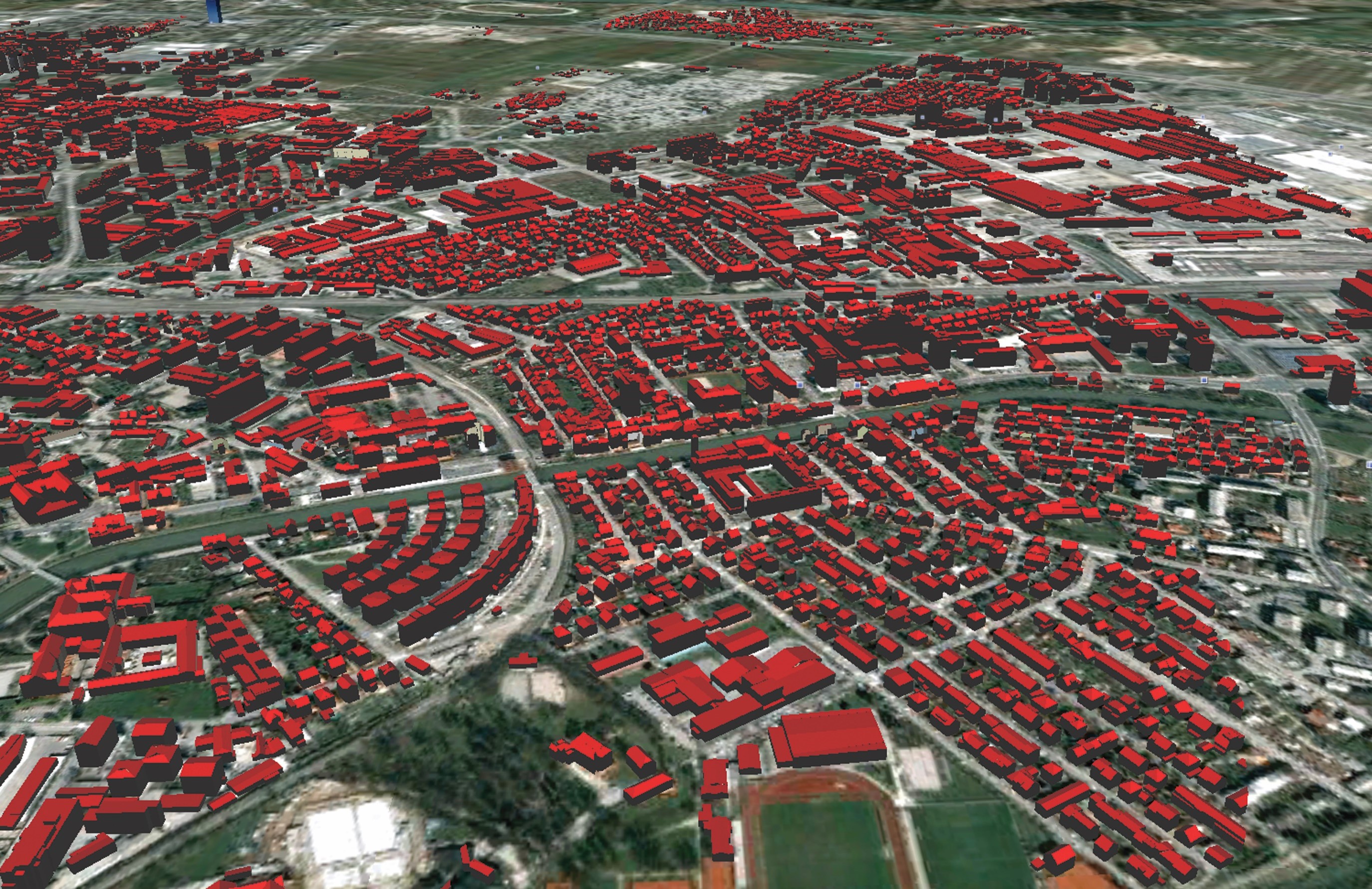
Lasersko skeniranje je eden od načinov zajema podatkov v prostoru, katerega rezultat je oblak tri-dimenzionalnih točk. Uporablja se tudi izraz LiDAR (ang.: Light Detecting And Ranging). Laserski skener oddaja svetlobne pulze in zaznava njihove odboje od predmetov v prostoru. Položaj objektov v prostoru se določa na podlagi znanega položaja laserskega skenerja, ki registrira prostorske smeri in meri dolžine poti odbitih žarkov. Rezultat laserskega skeniranja je oblak točk, ki imajo določen položaj v prostoru. Z obdelavo tega oblaka dobimo uporabnejše podatke: georeferenciran in klasificiran oblak točk (GKOT), različni digitalni modeli višin in podobno. Hkrati z laserskim skeniranjem je možno zajemati tudi aerofotografije s čimer lahko vsaki točki v oblaku priredimo tudi barvo in izdelamo (popolni) ortofoto. V okviru Cikličnega laserskega skeniranja Slovenije 2023-25 so na voljo različni izdelki: - GKOT - georeferenciran in klasificiran oblak točk - DMR - digitalni model reliefa - DMP - digitalni model površin - nDMP - normaliziran digitalni model površin - POF - popolni ortofoto - POFI - infrardeči popolni ortofoto