 Slovenski INSPIRE metapodatkovni sistem
Type
dataset
243 record(s)
Type of resources
Categories
INSPIRE themes
Keywords
Contact for the resource
Formats
Representation types
Scale
Resolution
-
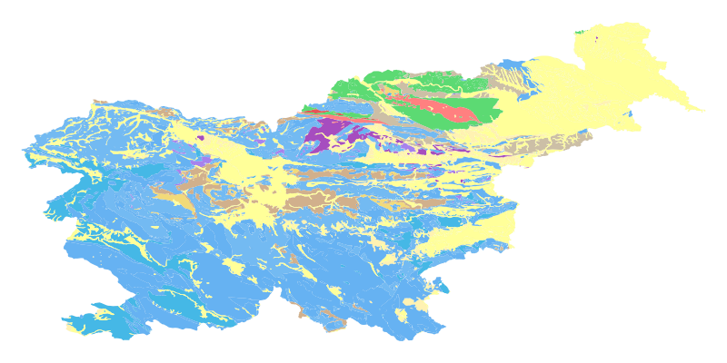
The harmonized geological map of Slovenia at a scale of 1:1,000,000 is a simplified version of the 1:250,000 scale Geological Map of Slovenia (Buser, 2009). The latter was compiled from the Basic Geological Map of Slovenia at a scale of 1: 100,000 (contributed by various authors between 1960's and 1980's and updated with new information gathered by S. Buser). The map is basically lithostratigraphic. The two layers incorporated in the map are lithostratigraphic units and major faults. The faults depicted on the map were selected using two criteria; regional extent and tectonic importance. The map presented here was edited specifically for the purpose of the OneGeology-Europe project by M. Bavec, M. Novak, M. Poljak, M. Trajanova and D. Skaberne.
-
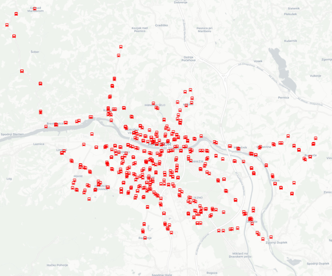
The layer keeps track of the locations of stations and public passenger transport stops.
-

-

-
-
-
-
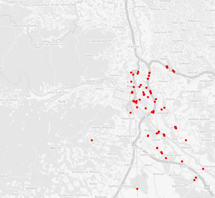
Layer Geomorphologic Features shows the location of various types of geomorphological phenomena. Only point data are included.
-
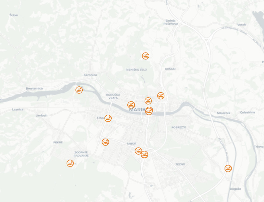
The layer keeps data on parking spaces intended exclusively for electric vehicles. Data covers the entire municipality, although the parking spaces are mostly located in the urban part.
-