 Slovenski INSPIRE metapodatkovni sistem
Category
IJZ
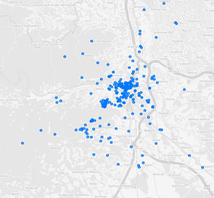
198 record(s)
Type of resources
Categories
INSPIRE themes
Keywords
Contact for the resource
Formats
Representation types
Scale
Resolution
-

-
-
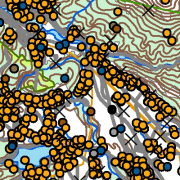
Vector data collection DPK 500V is an object-oriented cartographic database at 1: 500 000 scale. Elements on the map are divided into eight object groups: mathematical elements, settlements and objects, communications, relief, hydrography, land cover, boundaries and dividing line, geographical names. The data set is used for "rough" geo-orientation and for the needs of large scale and thematic displaying.
-
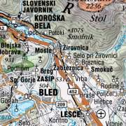
The National General Map at 1: 250 000 Scale shows the entire territory of Slovenia on one sheet of A0 format. Layers: mathematical elements, settlements and objects, communications, relief, hydrography, land cover, boundaries and dividing line, geographical names. The map is also available in printed form. The data set is used for "rough" orientation in the space and for the needs of large scale and thematic displaying.
-

-

-
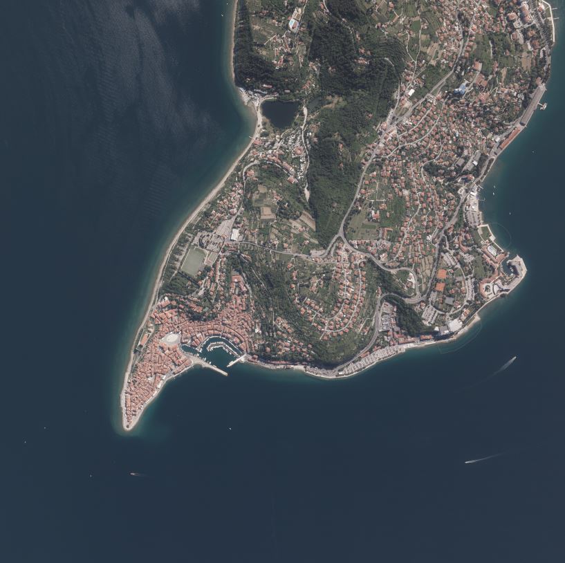
Product of aerial survey (from airplane, helicopter) are aerial images as well as external orientation elements, that are used as final product or as an input parameter for further image processing. In the cyclical aerial survey of Slovenia professional (recently digital, large format) aerial cameras are used. These cameras use simultaneous surveying of aerial photos in several channels (panchromatic, red, green, blue, near infrared). Usuall ground sampling distance (GSD) is 0.25 m.
-
-
The vector collection of data DPK 250V is object oriented cartographic database at 1 : 250 000 scale. Elements on the map are divided into eight groups: mathematical elements, settlements and objects, communications, relief, hydrography, land cover, boundaries and dividing lines, geographical names.
-
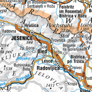
The National General Map at 1 : 750 000 Scale shows the entire territory of Slovenia on one sheet of A3 format. Layers: mathematical elements, settlements and objects, communications, relief, hydrography, land cover, boundaries and dividing line, geographical names. The data set is used for "rough" orientation in the space and for the needs of large scale and thematic displaying.