Keyword
vrsta vodonosnikov
3 record(s)
Type of resources
Categories
INSPIRE themes
Keywords
Formats
Representation types
Scale
Resolution
-

Data of Geological map were reclassified into classes of IAH classification on the base of hydrogeological characteristics. IAH classification is based on description of the hydrogeological units. Firstly, based on extensiveness and productivity and secondly on type of porosity. The purpose is to provide assistance to the strategy of groundwater exploitation as to protection and water resources management.
-

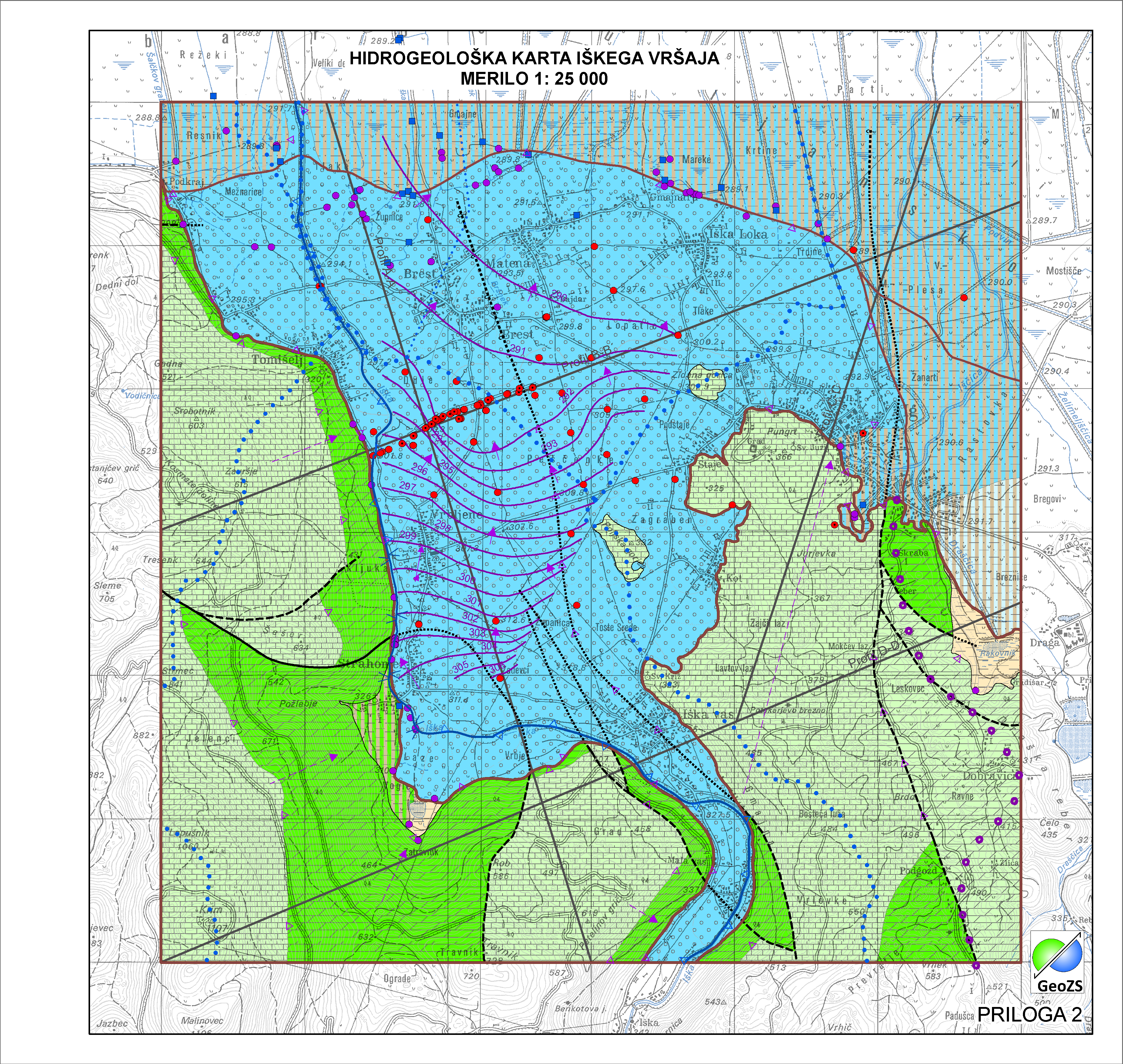
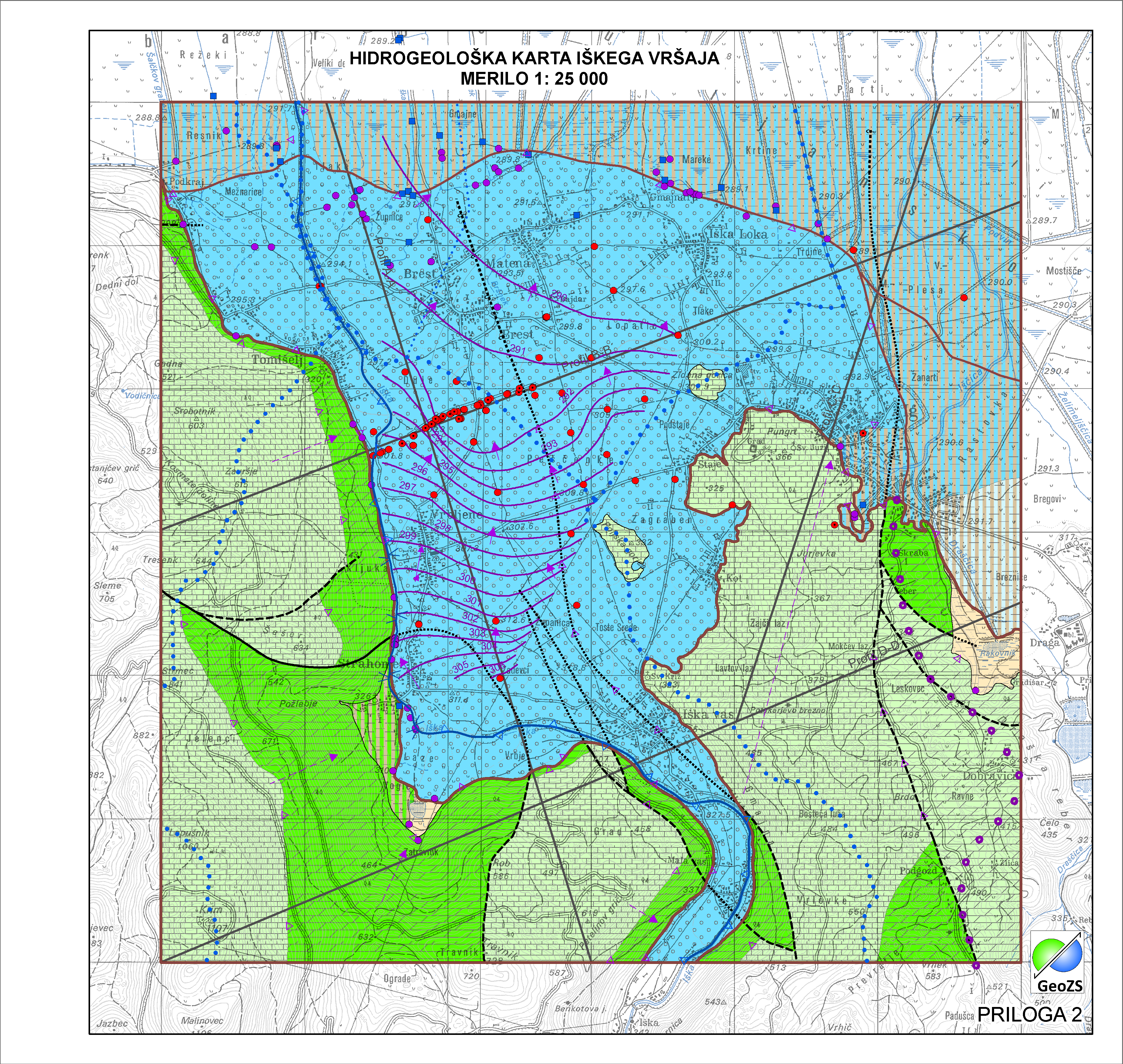
Relief karbonatne podlage pod aluvijalnim prodnim zasipom Iškega vršaja z obrobjem je narejena na popravljenem modelu po Menceju (1990), ki je bila narejena v okviru Projekta INCOME (Janža e tal., 2012). Za potrebe hidrogeološke karta Iškega vršaja je bila podlaga popravljena s dodatnimi seizmičnimi podatki in podatki iz vrtin projekta INCOME. Podlaga je pripravljena v grid obliki 5x5.
-

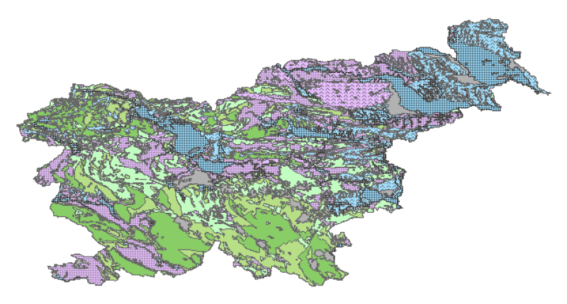
Hydrogeological map of Slovenia 1:250.000 represent hydrogeological characteristics of overlaying strata. The identification and classification of strata is based on LAWA classification. Hydrogeological units of LAWA classification are defined on type of porosity and basic petrographical composition. Geological strata with kartic porosity were additionaly classified after karstification stage.
 Slovenski INSPIRE metapodatkovni sistem