 Slovenski INSPIRE metapodatkovni sistem
Keyword
High value dataset
2 record(s)
Type of resources
Categories
INSPIRE themes
Keywords
Contact for the resource
Representation types
Resolution
-

Digital Elevation Model is a description of the relief in the form of a model, where the height of the relief is given for each node of the square grid. The model represents a Digital Relief Model of Slovenia and Digital Elevation Model with grid size 5 x 5 m (DMV 5). Digital Relief Model of Slovenia was established using various geodetic data, using the method of weighted aggregation from resources with some geomorphological corrections. It was made in 2001-2005 and is available as a model in a square grid with a cell size 12.5 m, 25 m and 100 m (DMV 12.5, DMV 25 and DMV 100). DMV 5 was created in 2006 and was regularly maintained until 2014 using cyclic aerial survey of Slovenia (CAS). Some additional data sources were used to produce the model as well. The data of both models are available as ASCII files (y, x, H), for example: 401000.0 112000.0 251.71 401025.0 112000.0 241.03 401050.0 112000.0 230.51 401075.0 112000.0 219.88 401100.0 112000.0 208.31 401125.0 112000.0 195.45
-
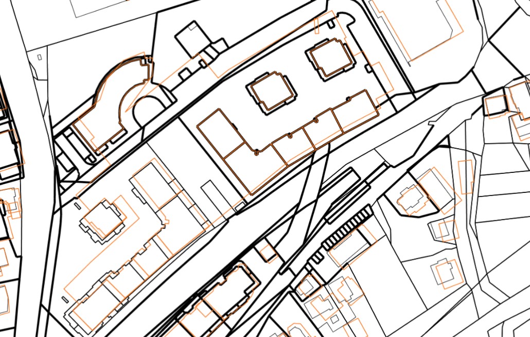
The realestate cadastre is designed as an official record of data on plots, buildings and parts of buildings, which enables the registration of real rights on them (or their parts) in the land register. The realestate cadastre is the fundamental record of the Republic of Slovenia's data on the location, shape, physical and other characteristics of plots, buildings and parts of buildings, which shows the actual state of real estate. The realestate cadastre consists of registered data on plots of land, buildings and parts of buildings, as well as a collection of documents. The entered data on plots, buildings and parts of buildings, as well as the collection of documents, are kept permanently. The realestate cadastre contains data on the areas of building rights and data on the areas of enforcement of servitudes or illegal servitudes. In the realestate cadastre, as data layers, there are also data on cadastral municipalities, actual land use, areas of land creditworthiness in the layer of land creditworthiness areas and a layer of temporary entries (areas of building rights and data on the area of enforcement of easement in rem or illegal easement in rem before decided by the land register).