 Slovenski INSPIRE metapodatkovni sistem
Keyword
National
32 record(s)
Type of resources
Categories
INSPIRE themes
Keywords
Contact for the resource
Formats
Representation types
Scale
Resolution
-
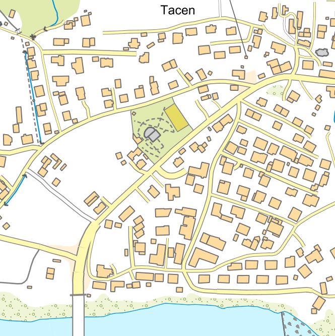
The collection of topographic data is maintained in the form of the National Topographic Model (DTM), which contains graphical and attribute-based topographic data on features that correspond to the accuracy of the 1:5,000 scale. The DTM includes topographic data for the territory of Slovenia in compliance with INSPIRE guidelines. The DTM also comprises geographical names and a digital terrain model. DTM data can be used for geolocating other spatial data, as a base for the display of graphical components of municipal spatial planning documents, and for the purposes of digital cartography. The data can also be linked to datasets from various administrative sectors.
-
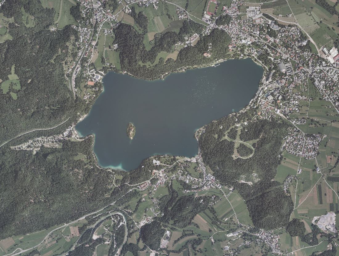
An orthophoto is an aerial photograph that has been transformed from a central to an orthogonal projection by taking into account terrain relief data and the absolute orientation of the aerial photographs. In this process, the effects of the camera optics, camera tilt, and terrain undulation are removed. Orthophotos are metrically comparable to line maps, and their sheet division corresponds to that of TTN5. All orthophotos are available in TIFF format. Different orthophotos are produced according to spatial resolution and colour spectrum: DOF025 – colour (RGB) orthophoto with a ground sampling distance (GSD) of 0.25 m DOF050 – colour (RGB) orthophoto with a ground sampling distance (GSD) of 0.50 m DOF050IR – colour near-infrared orthophoto (IR, R and G) with a ground sampling distance (GSD) of 0.50 m
-
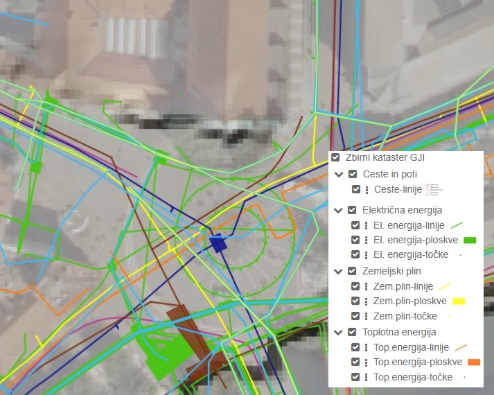
The Consolidated Cadastre of Public Infrastructure is a register in which facilities of public infrastructure and network connection points of the public communications network are recorded. For each public infrastructure facility, data are maintained on the type and category of the facility, its location, identification data, and information on the operator of the facility. For each network connection point, identification data, location data, information on the minimum capacity of the network connection point, and information on the owner of the network connection point are recorded. All operators of public infrastructure and owners of network connection points are required to submit the relevant data to the Consolidated Cadastre of Public Infrastructure. Public access to data from the Consolidated Cadastre of Public Infrastructure is ensured for all users. The primary purpose of establishing the Consolidated Cadastre of Public Infrastructure is to provide an overview of spatial occupancy by public infrastructure facilities and public communications network connection points across the entire territory of the country. This will, in the future, enable more efficient spatial planning, safer implementation of interventions in space, and more economical management of infrastructure assets.
-

-

-
-
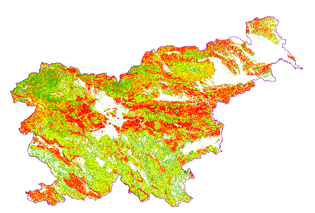
The underground geothermal conditions can be presented, irrespective of the aquifers' position, with the appropriate geothermal maps. These maps represent the expected isoterms at a depths and are derived from Geothermal maps - Expected temperatures , which are made with data from 302 boreholes. It is made on the basis of measured temperatures in accessible boreholes throughout the country. However, since the temperature field depends on the geological structure in the depths and tectonic characteristics, the course of the isotherms is a result of many influences, such as thermal conductivity of rocks, permeability and fracturing of rocks, all of which are reflected in the measured temperatures in boreholes. The distribution of boreholes, which were useful for the measurement of temperature, is very uneven and different as regard the depths.
-
Product by the Pangeo project: http://www.pangeoproject.eu/ PanGeo provides information about the stability of the ground on which we live, work and play. Ground instability, or "geohazards", affect us all. They can be dangerous and costly, yet information on these phenomena can be difficult if not impossible to obtain. The PanGeo service provides entirely free access to geohazard information for many of the largest cities in Europe .
-
Basic geological map of Yugoslavia presents lithological and stratigraphic characteristics of rocks, their relationships, age and other. It is a key to the understanding of the geology of Slovenia. It consists of 23 sheets, scale 1: 100.000.
-
Mineral deposits and resources