 Slovenski INSPIRE metapodatkovni sistem
Keyword
Ortofoto
5 record(s)
Type of resources
Categories
INSPIRE themes
Keywords
Formats
Representation types
Resolution
-
WMS storitev za INSPIRE ortofoto / OI.OrthoimageCoverage
-
In the Remote Sensing Database the remote sensing data, ortophoto and remote sensing technical data are being managed.
-
Product of aerial survey (from airplane, helicopter) are aerial images as well as external orientation elements, that are used as final product or as an input parameter for further image processing. In the cyclical aerial survey of Slovenia professional (recently digital, large format) aerial cameras are used. These cameras use simultaneous surveying of aerial photos in several channels (panchromatic, red, green, blue, near infrared). Usuall ground sampling distance (GSD) is 0.25 m.
-
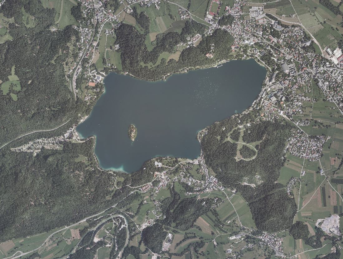
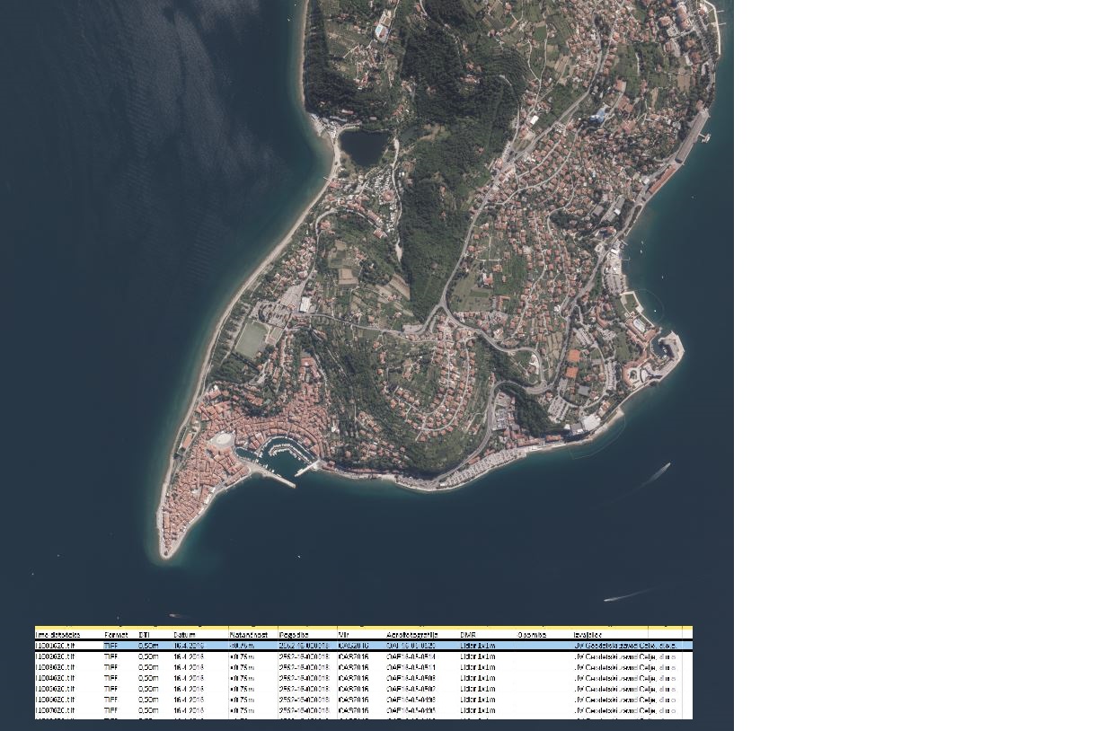
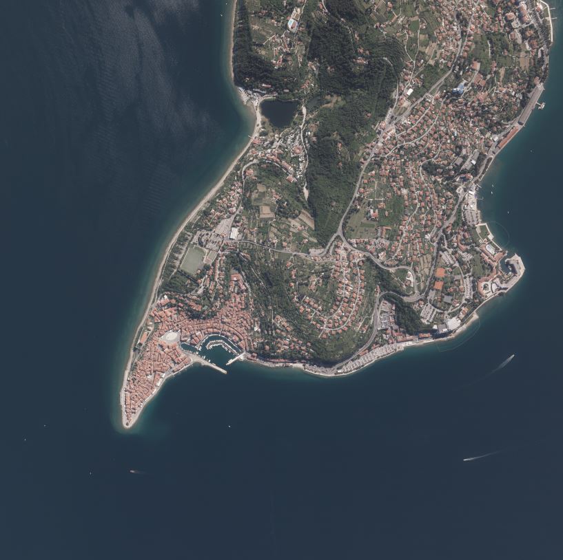
An orthophoto is an aerial photograph that has been transformed from a central to an orthogonal projection by taking into account terrain relief data and the absolute orientation of the aerial photographs. In this process, the effects of the camera optics, camera tilt, and terrain undulation are removed. Orthophotos are metrically comparable to line maps, and their sheet division corresponds to that of TTN5. All orthophotos are available in TIFF format. Different orthophotos are produced according to spatial resolution and colour spectrum: DOF025 – colour (RGB) orthophoto with a ground sampling distance (GSD) of 0.25 m DOF050 – colour (RGB) orthophoto with a ground sampling distance (GSD) of 0.50 m DOF050IR – colour near-infrared orthophoto (IR, R and G) with a ground sampling distance (GSD) of 0.50 m
-
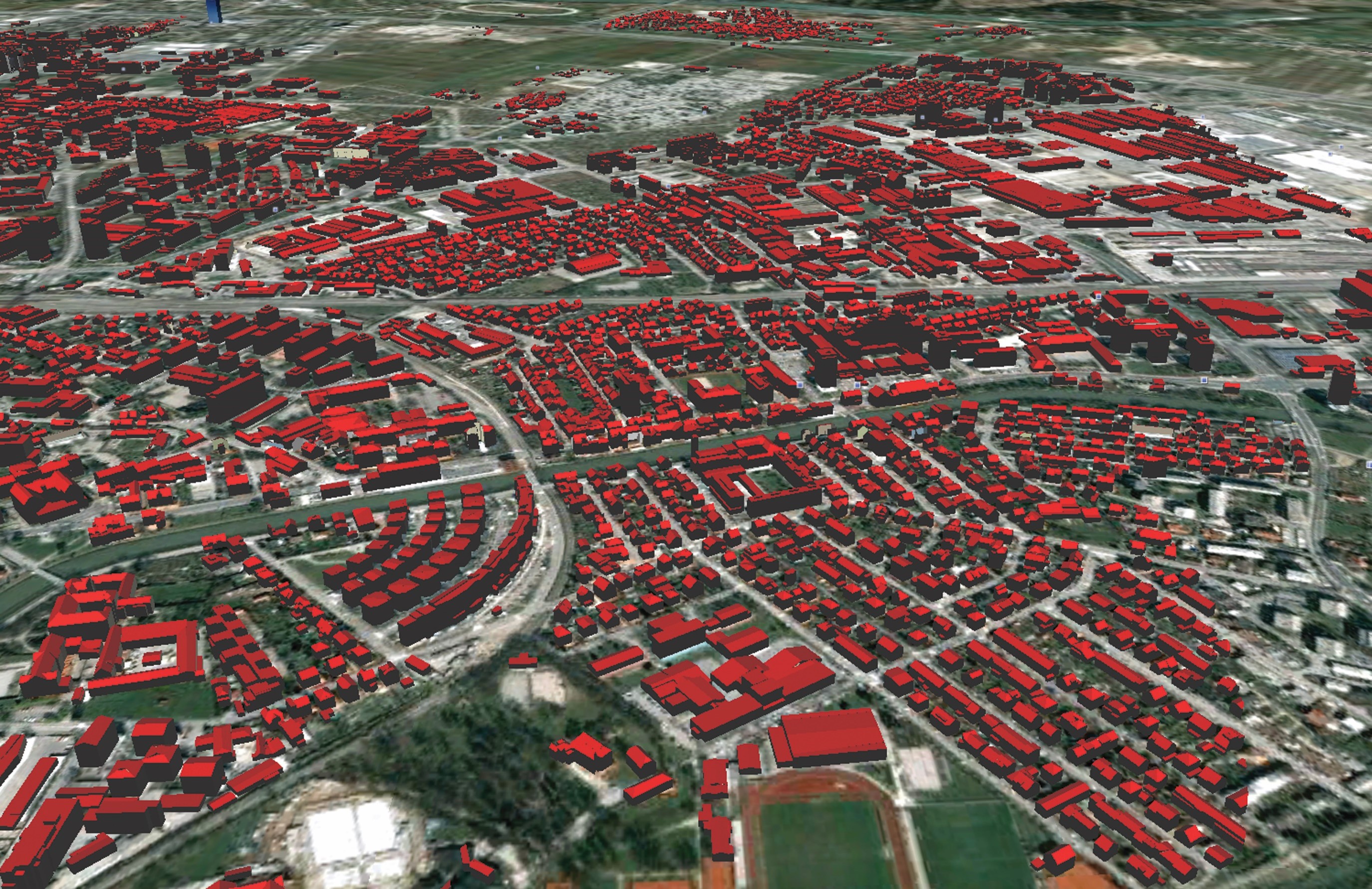
Lasersko skeniranje je eden od načinov zajema podatkov v prostoru, katerega rezultat je oblak tri-dimenzionalnih točk. Uporablja se tudi izraz LiDAR (ang.: Light Detecting And Ranging). Laserski skener oddaja svetlobne pulze in zaznava njihove odboje od predmetov v prostoru. Položaj objektov v prostoru se določa na podlagi znanega položaja laserskega skenerja, ki registrira prostorske smeri in meri dolžine poti odbitih žarkov. Rezultat laserskega skeniranja je oblak točk, ki imajo določen položaj v prostoru. Z obdelavo tega oblaka dobimo uporabnejše podatke: georeferenciran in klasificiran oblak točk (GKOT), različni digitalni modeli višin in podobno. Hkrati z laserskim skeniranjem je možno zajemati tudi aerofotografije s čimer lahko vsaki točki v oblaku priredimo tudi barvo in izdelamo (popolni) ortofoto. V okviru Cikličnega laserskega skeniranja Slovenije 2023-25 so na voljo različni izdelki: - GKOT - georeferenciran in klasificiran oblak točk - DMR - digitalni model reliefa - DMP - digitalni model površin - nDMP - normaliziran digitalni model površin - POF - popolni ortofoto - POFI - infrardeči popolni ortofoto