 Slovenski INSPIRE metapodatkovni sistem
Format
TIFF
12 record(s)
Type of resources
Categories
INSPIRE themes
Keywords
Formats
Representation types
Scale
Resolution
-
The National General Map at 1 : 1 000 000 Scale shows the entire territory of Slovenia on one sheet of A4 format. Layers: mathematical elements, settlements and objects, communications, relief, hydrography, land cover, boundaries and dividing line, geographical names. The dataset is used for "rough" geo-orientation and for the needs of large scale and thematic displaying.
-
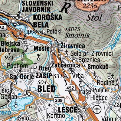
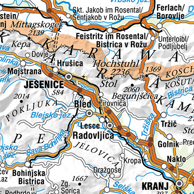
The National General Map at 1: 250 000 Scale shows the entire territory of Slovenia on one sheet of A0 format. Layers: mathematical elements, settlements and objects, communications, relief, hydrography, land cover, boundaries and dividing line, geographical names. The map is also available in printed form. The data set is used for "rough" orientation in the space and for the needs of large scale and thematic displaying.
-
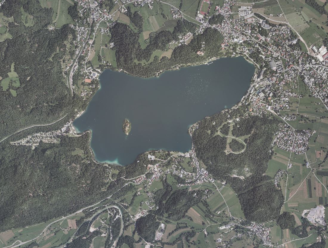
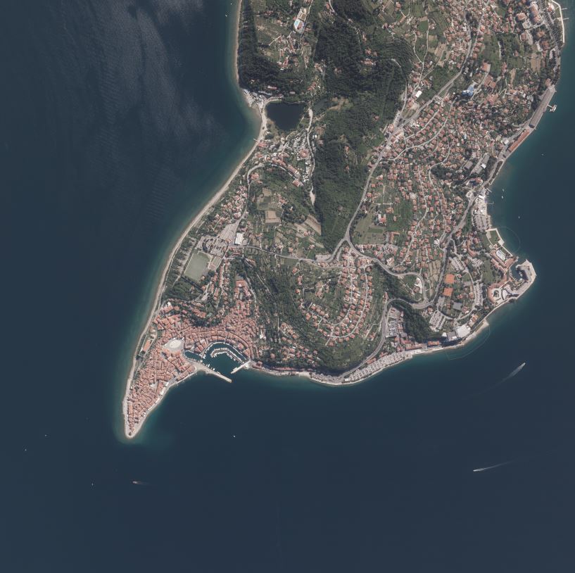
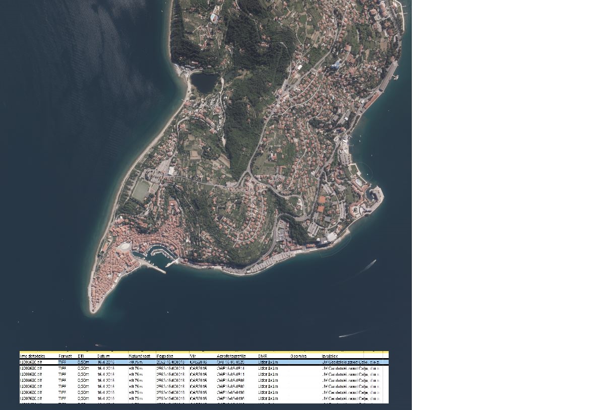
An orthophoto is an aerial photograph that has been transformed from a central to an orthogonal projection by taking into account terrain relief data and the absolute orientation of the aerial photographs. In this process, the effects of the camera optics, camera tilt, and terrain undulation are removed. Orthophotos are metrically comparable to line maps, and their sheet division corresponds to that of TTN5. All orthophotos are available in TIFF format. Different orthophotos are produced according to spatial resolution and colour spectrum: DOF025 – colour (RGB) orthophoto with a ground sampling distance (GSD) of 0.25 m DOF050 – colour (RGB) orthophoto with a ground sampling distance (GSD) of 0.50 m DOF050IR – colour near-infrared orthophoto (IR, R and G) with a ground sampling distance (GSD) of 0.50 m
-
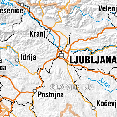
Državna pregledna karta merila 1 : 2 500 000 prikazuje območje celotne Slovenije in nekoliko večje območje sosednjih držav kot ostale pregledne karte. Vsebinski sloji: naselja in objekti, komunikacije, hidrografija, meje in ločnice ter zemljepisna imena. Podatkovni niz se uporablja za "grobo" orientacijo v prostoru ter za potrebe preglednih in tematskih prikazov.
-
Product of aerial survey (from airplane, helicopter) are aerial images as well as external orientation elements, that are used as final product or as an input parameter for further image processing. In the cyclical aerial survey of Slovenia professional (recently digital, large format) aerial cameras are used. These cameras use simultaneous surveying of aerial photos in several channels (panchromatic, red, green, blue, near infrared). Usuall ground sampling distance (GSD) is 0.25 m.
-
The National General Map at 1 : 750 000 Scale shows the entire territory of Slovenia on one sheet of A3 format. Layers: mathematical elements, settlements and objects, communications, relief, hydrography, land cover, boundaries and dividing line, geographical names. The data set is used for "rough" orientation in the space and for the needs of large scale and thematic displaying.
-
The National General Map at 1 : 500 000 Scale shows the entire territory of Slovenia on one sheet of A2 format. Layers: mathematical elements, settlements and objects, communications, relief, hydrography, land cover, boundaries and dividing line, geographical names. The map is used for "rough" orientation in the space and for the needs of large scale and thematic displaying.
-
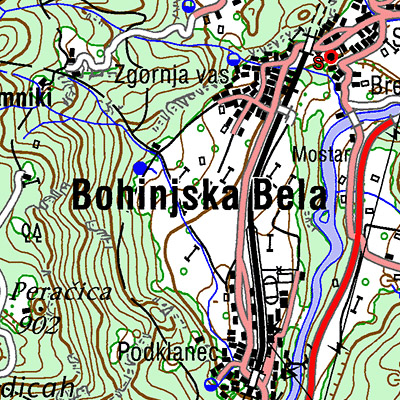
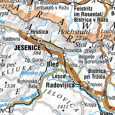
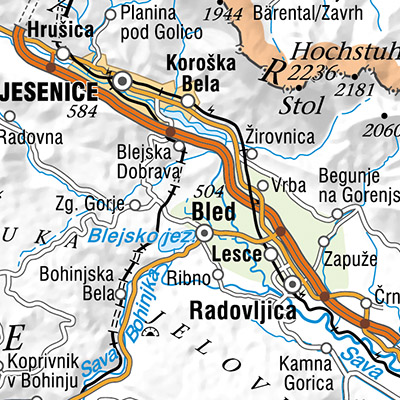
The territory of Republic of Slovenia covers 58 sheets of the National Topographic Map at 1 : 50 000 scale. Raster images with DTK 50 sheets are provided. Besides the joined color layer also eight geolocated raster layers are provided: - settlements, communications, names - border of roads and rocks - roads in relation to road surface, traffic surfaces - relief - contour lines - water - vegetation - UTM network - relief shadows. From year 2017 the map is available also as seamless cartographic raster layer. Georeferenced raster image is written in TIFF + TFW files in resolution 4 m (317.5 dpi) and cut into 99 rectangle tiles in 9 rows and 11 columns. DTK 50 is intended for spatial planning, for orientation on the field, as base for other themes, as a source for making other maps. Raster and vector data are available as free data.
-
Podatke Opozorilne karte se uporablja za namen opredelitve potrebnosti izdelave natančnejših analiz za podajo mnenja o erozijski ogroženosti na določenem območju. Zbirko sestavlja več slojev: Opozorilna karta verjetnosti pojavljanja ploskovne erozije 1:25.000 Opozorilna karta verjetnosti pojavljanja ploskovne erozije 1:25.000 prikazuje delitev teritorija posamezne občine glede na verjetnost pojavljanja ploskovne erozije prsti in preperine. Izdelana je na podlagi modelne napovedi, v katero so vključeni tudi podatki o površinah z obstoječo erozijo (melišča, vršaji, erozijska žarišča, antropogena erozija), ki so bili pridobljeni s pregledom in obdelavo ortofoto posnetkov in topografskih kart ter z neposrednim terenskim kartiranjem. Na opozorilni karti verjetnosti pojavljanja ploskovne erozije v merilu 1 : 25.000 je celoten teritorij obdelane občine prikazan v štirih stopnjah verjetnosti pojavljanja ploskovne erozije. Opozorilna karta verjetnosti pojavljanja linijske erozije 1:25.000 Opozorilna karta verjetnosti pojavljanja linijske erozije 1:25.000 prikazuje delitev vodotokov hidrografske mreže posamezne občine glede na verjetnost pojavljanja linijske erozije v strugah. Izdelana je na podlagi modelne napovedi, v katero so vključeni tudi podatki o nekaterih vodnih ureditvah, ki so bili pridobljeni s pregledom in obdelavo ortofoto posnetkov in topografskih kart ter z neposrednim terenskim kartiranjem. Rezultat modelnega izračuna je določitev verjetnosti pojavljanja linijske erozije (erodiranje brežin in dna) v strugah. Na opozorilni karti verjetnosti pojavljanja linijske erozije v merilu 1:25.000 je hidrografska mreža celotnega teritorija obdelane občine prikazana v štirih stopnjah verjetnosti pojavljanja linijske erozije. Obstoječa ploskovna kartirana erozija Območja obstoječe ploskovne kartirane erozije predstavljajo kartirane površine, kjer procesi ploskovne erozije že potekajo oziroma je erozija že prisotna in obsegajo erozijska žarišča, melišča, hudourniške vršaje, prodišča, sipine, zaplavke, antropogeno erozijo. Na teh površinah hkrati potekajo erozijski procesi sproščanja, odplakovanja in odlaganja ali pa prevladujejo procesi odlaganja nanosov oziroma zasipavanja. Površine obstoječe ploskovne erozije so določene z neposrednim terenskim kartiranjem ter s pregledom in z obdelavo ortofoto posnetkov in natančnejših topografskih kart. Na Opozorilni karti verjetnosti pojavljanja ploskovne erozije 1:25.000 so vse površine obstoječe ploskovne kartirane erozije ne glede na vrsto uvrščene oziroma prikazane v najvišji, to je veliki stopnji verjetnosti pojavljanja erozije. Opozorilo: Območja obstoječe ploskovne kartirane erozije ne predstavljajo vseh pojavov, ki so na analiziranem območju lahko prisotni, temveč zgolj tiste, ki so bili tekom izdelave nalog evidentirani. Pristopi klasifikacije površin obstoječe erozije so bili v posameznih nalogah neenotni, zaradi tega sloj predvsem za obdobje 2019-2023 vsebuje določene pomanjkljivosti. Sloj z letom izdelave opozorilnih kart erozije in povezavami na poročila Sloj z letom izdelave opozorilnih kart erozije in povezavami na poročila vsebuje dodatne informacije o Opozorilni karti verjetnosti pojavljanja linijske erozije 1:25.000 in Opozorilni karti verjetnosti pojavljanja ploskovne erozije 1:25.000.
-
In the Remote Sensing Database the remote sensing data, ortophoto and remote sensing technical data are being managed.