 Slovenski INSPIRE metapodatkovni sistem
Keyword
Utilities communication
31 record(s)
Type of resources
Categories
INSPIRE themes
Keywords
Contact for the resource
Formats
Representation types
Scale
From
1
-
10
/
31
-
-

-
-
-
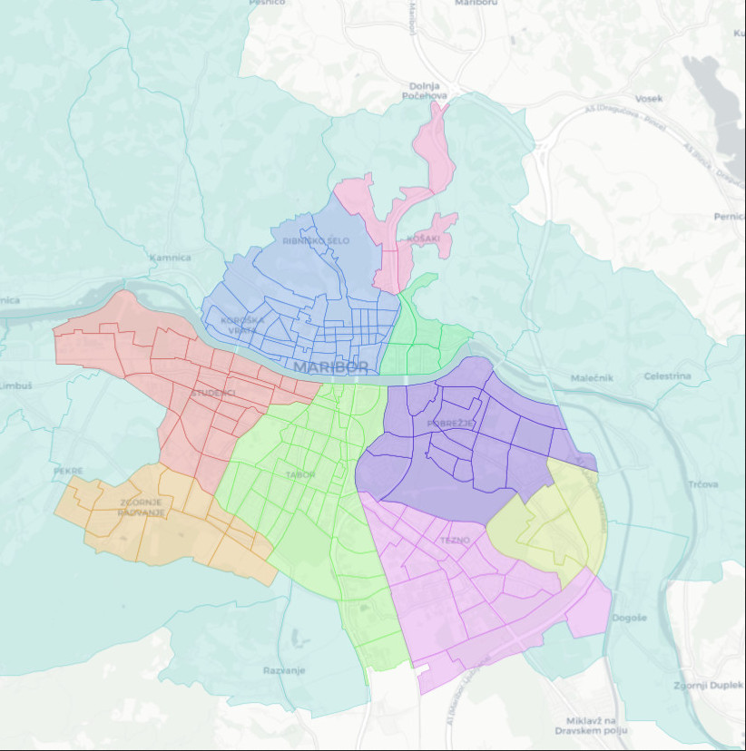
Traffic zones represent areas within which there are similar functions of living or providing services. The area of the Municipality of Maribor is divided into 10 traffic zones
-
-
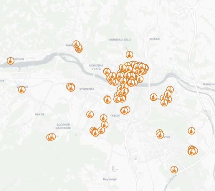
The layer keeps track on parking spaces reserved for persons with disabilities and their companions/drivers.
-
-
-