 Slovenski INSPIRE metapodatkovni sistem
Keyword
ortofoto, podobe/osnovne karte/pokrovnost
2 record(s)
Type of resources
Categories
INSPIRE themes
Keywords
Formats
Representation types
Resolution
-
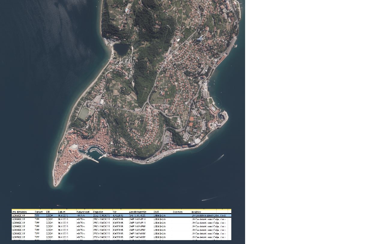
In the Remote Sensing Database the remote sensing data, ortophoto and remote sensing technical data are being managed.
-
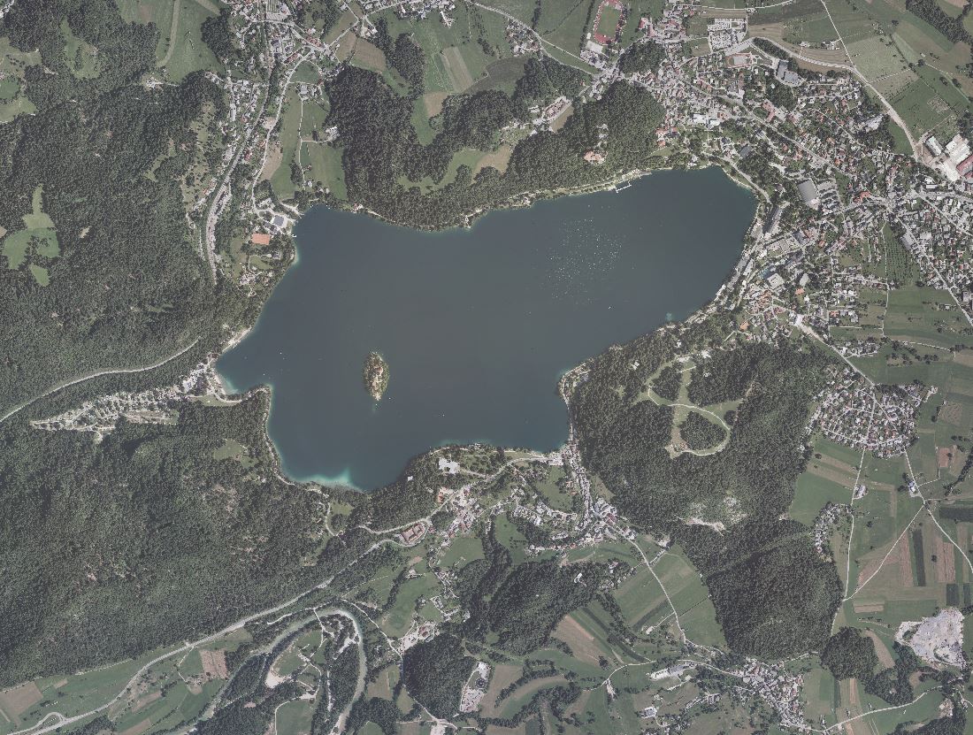
An orthophoto is an aerial photograph that has been transformed from a central to an orthogonal projection by taking into account terrain relief data and the absolute orientation of the aerial photographs. In this process, the effects of the camera optics, camera tilt, and terrain undulation are removed. Orthophotos are metrically comparable to line maps, and their sheet division corresponds to that of TTN5. All orthophotos are available in TIFF format. Different orthophotos are produced according to spatial resolution and colour spectrum: DOF025 – colour (RGB) orthophoto with a ground sampling distance (GSD) of 0.25 m DOF050 – colour (RGB) orthophoto with a ground sampling distance (GSD) of 0.50 m DOF050IR – colour near-infrared orthophoto (IR, R and G) with a ground sampling distance (GSD) of 0.50 m