 TEST - Slovenski INSPIRE metapodatkovni sistem
Category
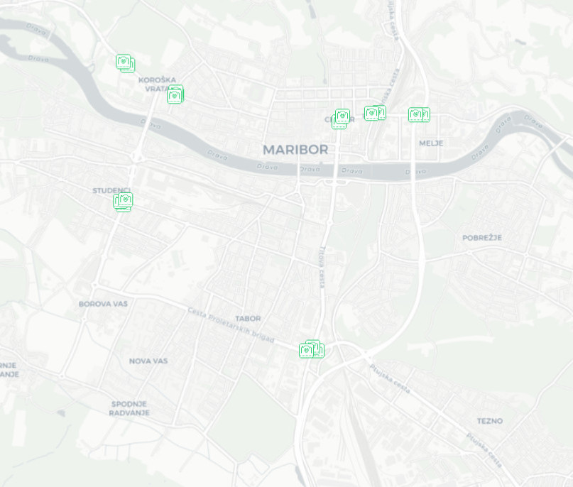
IJZ
168 record(s)
Type of resources
Categories
INSPIRE themes
Keywords
Contact for the resource
Formats
Representation types
Scale
Resolution
-
The layer keeps track of the locations of stations and public passenger transport stops.
-

-

The National General Map at 1: 250 000 Scale shows the entire territory of Slovenia on one sheet of A0 format. Layers: mathematical elements, settlements and objects, communications, relief, hydrography, land cover, boundaries and dividing line, geographical names. The map is also available in printed form. The data set is used for "rough" orientation in the space and for the needs of large scale and thematic displaying.
-

The National General Map at 1 : 750 000 Scale shows the entire territory of Slovenia on one sheet of A3 format. Layers: mathematical elements, settlements and objects, communications, relief, hydrography, land cover, boundaries and dividing line, geographical names. The data set is used for "rough" orientation in the space and for the needs of large scale and thematic displaying.
-
-
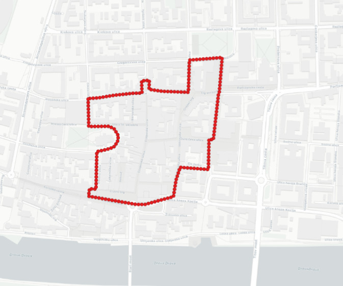
The layer keeps track of the Maister city minivan operational area, which is located in Maribor city center.
-
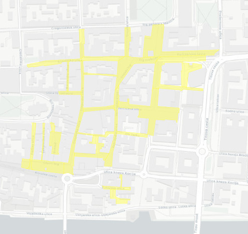
The layer keeps track on the locations of bicycle sheds, the layer was made for the needs of the Melinda 2020 project and represents the cross-sectional state.
-
-

The EuroGlobalMap for Slovenia is a part of the European collection of topographic data at 1: 1 000 000 scale.
-

Vector data collection DPK 500V is an object-oriented cartographic database at 1: 500 000 scale. Elements on the map are divided into eight object groups: mathematical elements, settlements and objects, communications, relief, hydrography, land cover, boundaries and dividing line, geographical names. The data set is used for "rough" geo-orientation and for the needs of large scale and thematic displaying.