 Slovenski INSPIRE metapodatkovni sistem
Keyword
Planning cadastre
8 record(s)
Type of resources
Categories
INSPIRE themes
Keywords
Contact for the resource
Formats
Representation types
Scale
Resolution
-
For the needs of spatial planning, the Spatial Management Act introduces a new record, called the Register of building land.
-
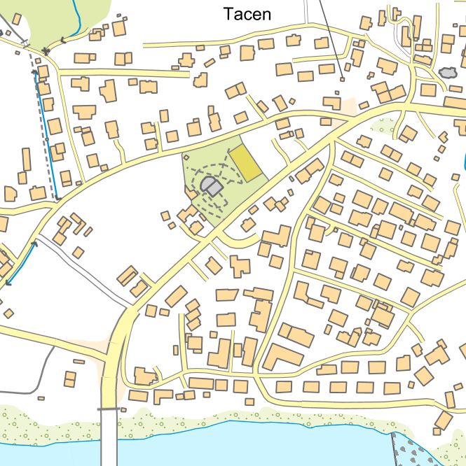
The collection of topographic data is maintained in the form of the National Topographic Model (DTM), which contains graphical and attribute-based topographic data on features that correspond to the accuracy of the 1:5,000 scale. The DTM includes topographic data for the territory of Slovenia in compliance with INSPIRE guidelines. The DTM also comprises geographical names and a digital terrain model. DTM data can be used for geolocating other spatial data, as a base for the display of graphical components of municipal spatial planning documents, and for the purposes of digital cartography. The data can also be linked to datasets from various administrative sectors.
-
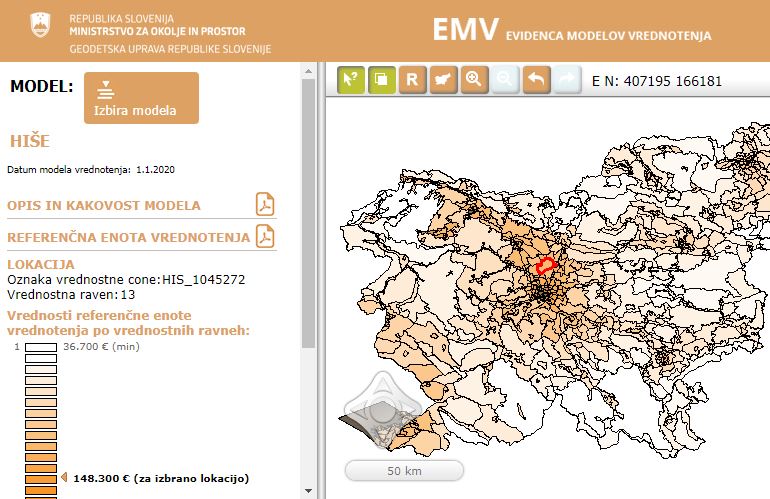
Real Estate Valuation Models Database is a public database of real estate valuation models. The valuation model defines the impact of different real estate characteristics on a market value of the real estate.
-
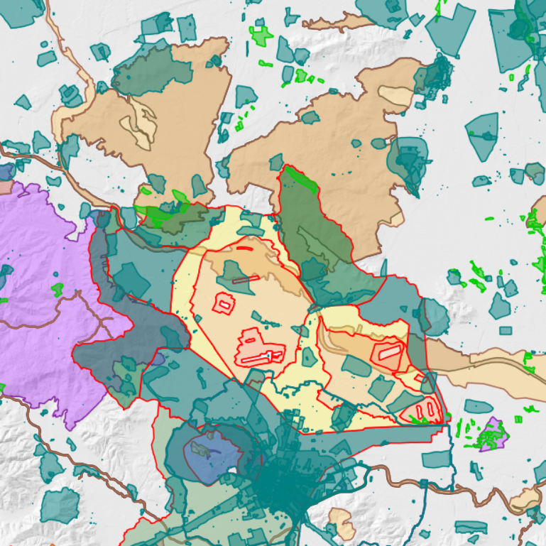
Catalogue of public legal regimes includes data about dataset of legal regimes, which are included in the services of the Spatial planning information system. Original datasets about legal regimes are maintained by the responsible public institutions (local communities or governmental institutions).
-
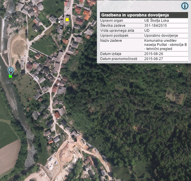
Construction database contains legal acts related with the construction: - building permits - operating permit - legal acts issued in the inspection procedure
-
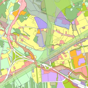
Information about legal status defined by spatial plans is kept in the Database of Spatial Plans. Documentation and information form the preparation of spatial plans is also kept in the database. The Database of Spatial Plans includes data about geographical areas of spatial plans and data about planned land use from local spatial plans.
-
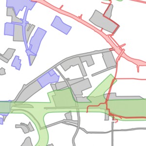
Geographical areas of spatial plans from completed procedures include: - areas of national spatial plans, - areas of regional spatial plans, - areas of local spatial plans. Geographical areas of spatial plans are part of database of spatial plans.
-
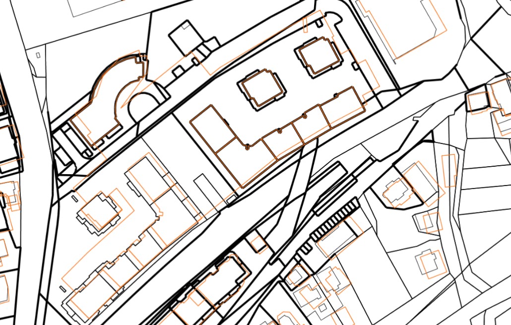
The realestate cadastre is designed as an official record of data on plots, buildings and parts of buildings, which enables the registration of real rights on them (or their parts) in the land register. The realestate cadastre is the fundamental record of the Republic of Slovenia's data on the location, shape, physical and other characteristics of plots, buildings and parts of buildings, which shows the actual state of real estate. The realestate cadastre consists of registered data on plots of land, buildings and parts of buildings, as well as a collection of documents. The entered data on plots, buildings and parts of buildings, as well as the collection of documents, are kept permanently. The realestate cadastre contains data on the areas of building rights and data on the areas of enforcement of servitudes or illegal servitudes. In the realestate cadastre, as data layers, there are also data on cadastral municipalities, actual land use, areas of land creditworthiness in the layer of land creditworthiness areas and a layer of temporary entries (areas of building rights and data on the area of enforcement of easement in rem or illegal easement in rem before decided by the land register).