 Slovenski INSPIRE metapodatkovni sistem
Keyword
geology
37 record(s)
Type of resources
Categories
INSPIRE themes
Keywords
Contact for the resource
Formats
Representation types
Scale
Resolution
-

-
-

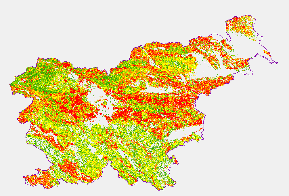
Data of Geological map were reclassified into classes of IAH classification on the base of hydrogeological characteristics. IAH classification is based on description of the hydrogeological units. Firstly, based on extensiveness and productivity and secondly on type of porosity. The purpose is to provide assistance to the strategy of groundwater exploitation as to protection and water resources management.
-

Layer Geomorphologic Features shows the location of various types of geomorphological phenomena. Only point data are included.
-

Geophysical cross sections show the geophysical characteristics of the sediments and bedrock at depth.
-

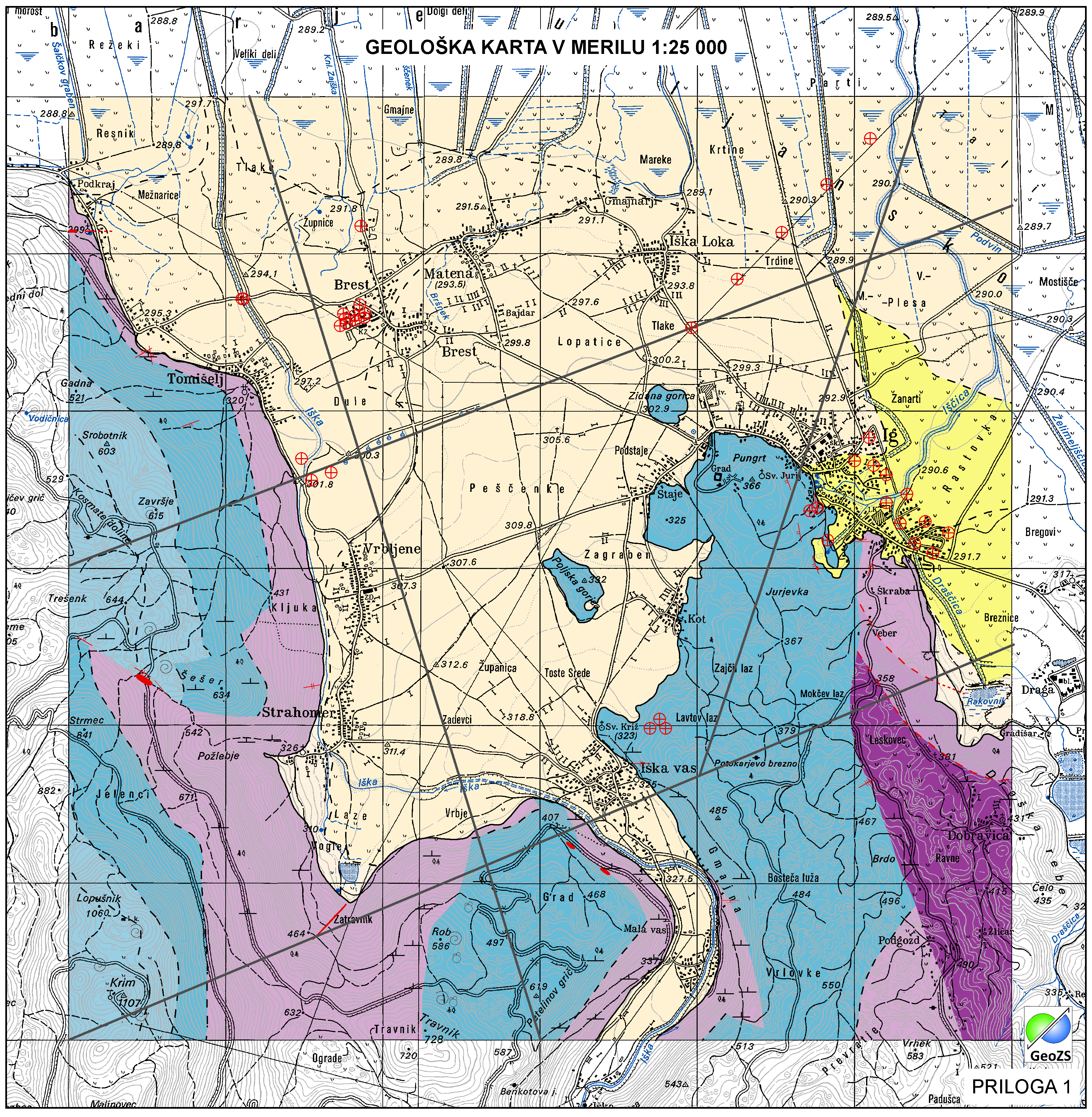
Geological Units are polygons, defined by equal composition (lithology) and age.
-

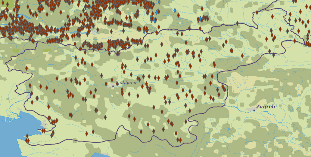
Layer Boreholes shows the localities where structural boreholes were drilled.
-

Layer shows the zones where the rock is systematically fractured.
-
Layer shows discontinuities in the geological structure, and characterizes them according to their type and observation method.
-
Mineral deposits and resources INSPIRE compliant WMS services for Minerals4EU