 Slovenski INSPIRE metapodatkovni sistem
Keyword
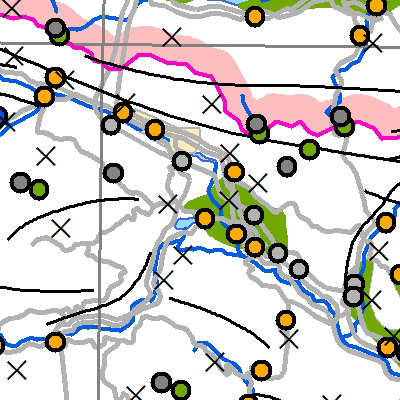
Podobe/Osnovne karte/Pokrovnost
24 record(s)
Type of resources
Categories
INSPIRE themes
Keywords
Formats
Representation types
Scale
Resolution
-
Gre za bazo pokrovnosti tal za leto 2012. Baza podatkov CLC 2012 predstavlja pokrovnost tal za leto 2012. CLC 2012 je kombinacija revidirane baze za leto 2006 in baze sprememb med letoma 2006 in 2012. V Sloveniji je 34 razredov od 44 kot jih pozna CORINE. Najpogostejši tip pokrovnosti so gozdovi, ki predstavljajo več kot 50 % površja. Podatki so v vektorski prostorski bazi. Karta predstavlja realno stanje, ki ga je zaznal satelit.Podatkovni niz vsebuje:- 54.110,20 ha (Vodnih površin)- 3.423,15 ha (Z vodo namočenih površin)- 1.327.029,65 ha (Gozdnih in deloma ohranjenih naravnih površin)- 733.153,83 ha (Kmetijskih povšin)- 62.466,57 ha (Umetnih površin)
-
In the Remote Sensing Database the remote sensing data, ortophoto and remote sensing technical data are being managed.
-
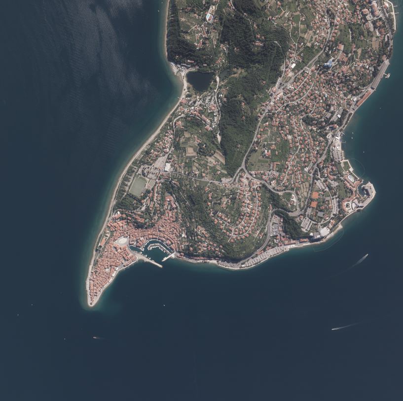
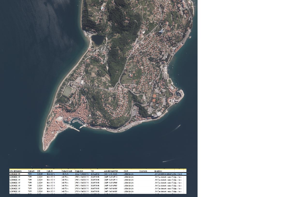
Product of aerial survey (from airplane, helicopter) are aerial images as well as external orientation elements, that are used as final product or as an input parameter for further image processing. In the cyclical aerial survey of Slovenia professional (recently digital, large format) aerial cameras are used. These cameras use simultaneous surveying of aerial photos in several channels (panchromatic, red, green, blue, near infrared). Usuall ground sampling distance (GSD) is 0.25 m.
-
Vector data collection DPK 500V is an object-oriented cartographic database at 1: 500 000 scale. Elements on the map are divided into eight object groups: mathematical elements, settlements and objects, communications, relief, hydrography, land cover, boundaries and dividing line, geographical names. The data set is used for "rough" geo-orientation and for the needs of large scale and thematic displaying.
-
Vector data collection DPK 750V is an object-oriented cartographic database at 1 : 750 000 scale. Elements on the map are divided into eight object groups: mathematical elements, settlements and objects, communications, relief, hydrography, land cover, boundaries and dividing line, geographical names. The data set is used for "rough" geo-orientation and for the needs of large scale and thematic displaying.
-
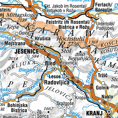
The National General Map at 1 : 1 000 000 Scale shows the entire territory of Slovenia on one sheet of A4 format. Layers: mathematical elements, settlements and objects, communications, relief, hydrography, land cover, boundaries and dividing line, geographical names. The dataset is used for "rough" geo-orientation and for the needs of large scale and thematic displaying.
-
The vector collection of data DPK 250V is object oriented cartographic database at 1 : 250 000 scale. Elements on the map are divided into eight groups: mathematical elements, settlements and objects, communications, relief, hydrography, land cover, boundaries and dividing lines, geographical names.
-
Vektorska zbirka podatkov DPK 2500V je objektno orientirana kartografska zbirka podatkov merila 1 : 1 000 000. Objekti so razdeljeni v petobjektnih skupin: naselja in objekti, komunikacije, hidrografija, meje in ločnice, zemljepisna imena. Podatkovni niz se uporablja za "grobo" orientacijo v prostoru, za potrebe preglednih in tematskih prikazov.
-
National Maps are cartographically processed topographic data, which are managed in the national spatial coordinate reference system and are presented in the national cartographic projection. National Maps are managed in digital format. National maps for the territory of the Republic of Slovenia are: - National Topographic Map at a scale 1 : 50 000, - National General Maps at a scales 1 : 250 000, 1 : 500 000, 1 : 750 000 and 1 : 1 000 000, - maps produced on the basis of an agreement or contract with the public authorities of other countries or international civil institutions and organizations and are showing the territory of the Republic of Slovenia.
-
The vector data collection DPK 1000V is an object-oriented cartographic database at 1 : 1 000 000 scale. Elements on the map are divided into eight objects groups: mathematical elements, settlements and objects, communications, relief, hydrography, land cover, boundaries and dividing line, geographical names. The data set is used for "rough" orientation in the space and for the needs of large scale and thematic displaying.